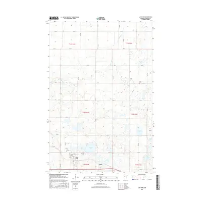
2016 Map of Lake Park
USGS Topo · Published 2016About this map
Lake Park serves as the primary hub of this west-central Minnesota landscape, situated amid a high density of glacial kettle lakes and wetlands. The town's grid is detailed with streets like Lake St and Liberty St, bordering the expansive LaBelle Lake and Duck Lake. For genealogists and local historians, the map is remarkably dense with burial sites, including the Oak Grove Cem, Lake Park Cem, and the more remote Baarstad Cem located near the center of the quadrangle.
Find a feature on this map
64 named features on this map. Tap any name to fly to it.
Don’t see what you’re looking for? This feature index may not catch every label — zoom into the map to look around manually.
Map Details
Editions of this 2016 Lake Park Map
This is the sole edition of this map. No revisions or reprints were ever made.
Other maps of this area

1918 · Flom
USGS Topo · 1:62,500

1952 · Grand Forks
USGS Topo · 1:250,000

1953 · Fargo
USGS Topo · 1:250,000

1953 · Brainerd
USGS Topo · 1:250,000

1954 · Bemidji
USGS Topo · 1:250,000

1956 · Fargo
USGS Topo · 1:250,000

1956 · Grand Forks
USGS Topo · 1:250,000

1957 · Brainerd
USGS Topo · 1:250,000

1957 · Bemidji
USGS Topo · 1:250,000

1958 · Bemidji
USGS Topo · 1:250,000