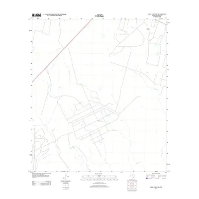
2013 Map of Lake Pasture
USGS Topo · Published 2013About this map
Lake Pasture Oil Field and the Fagan Oil Field dominate this industrial landscape in Refugio County. The map reveals the extensive network of roads and infrastructure required for energy extraction in the early 21st century. Natural drainage systems like Willow Creek and Salt Cr weave through the petroleum operations, while Artesian Cr defines the eastern portion of the terrain. The presence of major transit routes, including Highway 77 and Highway 239, underscores the region's importance as a corridor between coastal hubs. This survey provides a precise accounting of the man-made footprint upon the South Texas coastal prairie during a period of continued oil production.
Find a feature on this map
9 named features on this map. Tap any name to fly to it.
Don’t see what you’re looking for? This feature index may not catch every label — zoom into the map to look around manually.
Map Details
Editions of this 2013 Lake Pasture Map
This is the sole edition of this map. No revisions or reprints were ever made.
Other maps of this area

1952 · Tivoli
USGS Topo · 1:24,000

1952 · Bloomington SW
USGS Topo · 1:24,000

1952 · Tivoli SW
USGS Topo · 1:24,000

1953 · Beeville
USGS Topo · 1:250,000

1954 · Vidaurri
USGS Topo · 1:62,500

1956 · Beeville
USGS Topo · 1:250,000

1960 · Beeville
USGS Topo · 1:250,000

1962 · Lott Lake
USGS Topo · 1:24,000

1962 · McFaddin
USGS Topo · 1:24,000

1978 · Vidaurri
USGS Topo · 1:24,000