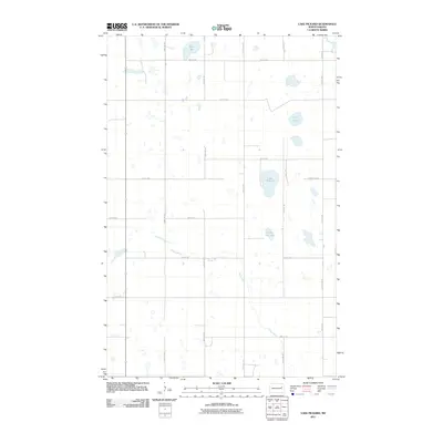
2011 Map of Lake Pickard
USGS Topo · Published 2011About this map
Goose River meanders across this prairie landscape in Grand Forks County, providing a primary drainage route through a region defined by its glacial pothole lakes. The terrain is dominated by these scattered water bodies, including the central Lake Pickard and the curiously named Gopher Tail Lake. This map captures a section of North Dakota where the rigid section-line road grid, consisting of routes like County Hwy 9 and 124th Ave NE, dictates the movement of people and commerce between agricultural plots. The presence of Deer Lake and Twin Lakes further north illustrates the density of these natural basins, which have long influenced local drainage patterns and farming boundaries in this portion of the Red River Valley watershed.
Find a feature on this map
21 named features on this map. Tap any name to fly to it.
Don’t see what you’re looking for? This feature index may not catch every label — zoom into the map to look around manually.
Map Details
Editions of this 2011 Lake Pickard Map
This is the sole edition of this map. No revisions or reprints were ever made.
Other maps of this area

1939 · Niagara
USGS Topo · 1:62,500

1942 · McVille
USGS Topo · 1:62,500

1952 · Grand Forks
USGS Topo · 1:250,000

1952 · Thief River Falls
USGS Topo · 1:250,000

1952 · New Rockford
USGS Topo · 1:250,000

1953 · Devils Lake
USGS Topo · 1:250,000

1956 · New Rockford
USGS Topo · 1:250,000

1956 · Thief River Falls
USGS Topo · 1:250,000

1956 · Devils Lake
USGS Topo · 1:250,000

1956 · Grand Forks
USGS Topo · 1:250,000