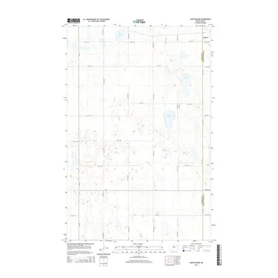
2014 Map of Lake Pickard
USGS Topo · Published 2014About this map
Niagara anchors the northeastern corner of this landscape, situated along the border of Nelson and Grand Forks counties. The surrounding terrain is defined by a glacial pothole topography, with numerous small water bodies and wetlands scattered across the prairie. Principal water features include Lake Pickard, Deer Lake, and the meandering path of the Goose River, which winds through the central and southern sections of the quadrangle.
Find a feature on this map
27 named features on this map. Tap any name to fly to it.
Don’t see what you’re looking for? This feature index may not catch every label — zoom into the map to look around manually.
Map Details
Editions of this 2014 Lake Pickard Map
This is the sole edition of this map. No revisions or reprints were ever made.
Other maps of this area

1939 · Niagara
USGS Topo · 1:62,500

1942 · McVille
USGS Topo · 1:62,500

1952 · Grand Forks
USGS Topo · 1:250,000

1952 · Thief River Falls
USGS Topo · 1:250,000

1952 · New Rockford
USGS Topo · 1:250,000

1953 · Devils Lake
USGS Topo · 1:250,000

1956 · New Rockford
USGS Topo · 1:250,000

1956 · Thief River Falls
USGS Topo · 1:250,000

1956 · Devils Lake
USGS Topo · 1:250,000

1956 · Grand Forks
USGS Topo · 1:250,000