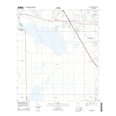
2015 Map of Lake Poinsett
USGS Topo · Published 2015About this map
Lake Poinsett and the Saint Johns River dominate this central Florida landscape, where the river system expands into wide, marshy basins. This 2015 record shows the suburban expansion of Cocoa and Rockledge pressing against the eastern banks of the river valley. The map documents a complex hydrological network including Lake Winder, Barnett Lake, and the Faulk Canal, illustrating the management of water in this low-lying region.
Find a feature on this map
88 named features on this map. Tap any name to fly to it.
Don’t see what you’re looking for? This feature index may not catch every label — zoom into the map to look around manually.
Map Details
Editions of this 2015 Lake Poinsett Map
This is the sole edition of this map. No revisions or reprints were ever made.
Other maps of this area

1949 · Courtenay
USGS Topo · 1:24,000

1949 · Eau Gallie
USGS Topo · 1:24,000

1949 · Sharpes
USGS Topo · 1:24,000

1949 · Cocoa
USGS Topo · 1:24,000

1951 · Eau Gallie
USGS Topo · 1:24,000

1951 · Cocoa
USGS Topo · 1:24,000

1951 · Courtenay
USGS Topo · 1:24,000

1951 · Sharpes
USGS Topo · 1:24,000

1953 · Lake Poinsett
USGS Topo · 1:24,000

1953 · Deer Park NE
USGS Topo · 1:24,000