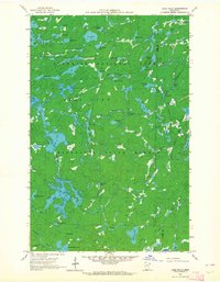
1960 Map of Lake Polly
USGS Topo · Published 1964About this map
The Kawishiwi River and Louse River wind through a dense lakeland landscape within the Superior National Forest and Minnesota State Forest. This 1960 field-checked survey reveals an intricate network of waterways at the boundary of Lake County and Cook County. The terrain is defined by its glacial morphology, with distinctively named bodies of water such as Kivandeba Lake, Kivaniva Lake, and Humpback Lake scattered across the wilderness. The map is notable for its bathymetric data, with depth curves compiled by the Minnesota Department of Conservation, providing a rare subsurface perspective of lakes like Pan Lake and Cowan Lake. This era represents a period of intensive resource management by the Iron Range Resources and Rehabilitation Commission, documented here before modern development or renaming of these remote northern waters.
Find a feature on this map
54 named features on this map. Tap any name to fly to it.
Don’t see what you’re looking for? This feature index may not catch every label — zoom into the map to look around manually.
Map Details
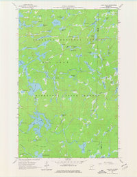
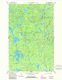
Editions of this 1960 Lake Polly Map
4 editions found
Other maps of this area

1954 · Two Harbors
USGS Topo · 1:250,000

1957 · Two Harbors
USGS Topo · 1:250,000

1957 · Quetico
USGS Topo · 1:250,000

1958 · Two Harbors
USGS Topo · 1:250,000

1959 · Ogishkemuncie Lake
USGS Topo · 1:24,000

1959 · Kekekabic Lake
USGS Topo · 1:24,000

1959 · Gillis Lake
USGS Topo · 1:24,000

1960 · Lake Polly
USGS Topo · 1:24,000

1960 · Kawishiwi Lake
USGS Topo · 1:24,000

1960 · Perent Lake
USGS Topo · 1:24,000