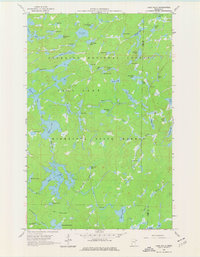
1960 Map of Lake Polly
USGS Topo · Published 1977About this map
The Kawishiwi River winds through a dense landscape of glacial lakes and wetlands in this 1960 survey of northeastern Minnesota. Located within the Superior National Forest and Minnesota State Forest, the area shows no roads or permanent settlements, reflecting the pristine nature of the Fall Lake township region. The map highlights a complex network of interconnected water bodies such as Koma Lake, Malberg Lake, and Adams Lake, which served as critical navigation routes for early travel. The intricate shoreline details of smaller features like Tool Lake and Blue-Wing Lake provide a clear view of the wilderness before later recreational management changes. A distinct boundary between Lake and Cook counties bisects the eastern portion of the quadrangle, cutting through water bodies like John Ek Lake and Kickshaw Lake.
Find a feature on this map
56 named features on this map. Tap any name to fly to it.
Don’t see what you’re looking for? This feature index may not catch every label — zoom into the map to look around manually.
Map Details
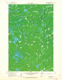
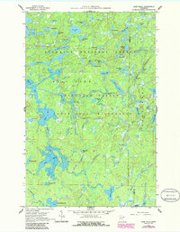
Editions of this 1960 Lake Polly Map
4 editions found
Other maps of this area

1954 · Two Harbors
USGS Topo · 1:250,000

1957 · Two Harbors
USGS Topo · 1:250,000

1957 · Quetico
USGS Topo · 1:250,000

1958 · Two Harbors
USGS Topo · 1:250,000

1959 · Ogishkemuncie Lake
USGS Topo · 1:24,000

1959 · Kekekabic Lake
USGS Topo · 1:24,000

1959 · Gillis Lake
USGS Topo · 1:24,000

1960 · Lake Polly
USGS Topo · 1:24,000

1960 · Kawishiwi Lake
USGS Topo · 1:24,000

1960 · Perent Lake
USGS Topo · 1:24,000