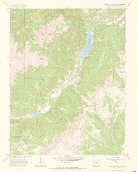
1964 Map of Lake San Cristobal
USGS Topo · Published 1973About this map
Lake San Cristobal dominates this high-altitude landscape where the Continental Divide winds through the southern reaches of the San Juan Mountains. The map highlights the geologic instability of the region, most notably the Slumgullion Slide near Slumgullion Creek, a massive earthflow that historically dammed the Lake Fork Gunnison River to create the lake itself. This mid-1960s survey captures a wilderness on the cusp of modern recreation, showing an established Campground and a remote Landing Strip alongside older markers of resource extraction.
Find a feature on this map
33 named features on this map. Tap any name to fly to it.
Don’t see what you’re looking for? This feature index may not catch every label — zoom into the map to look around manually.
Map Details
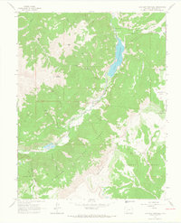
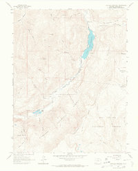
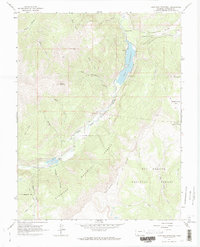
Editions of this 1964 Lake San Cristobal Map
4 editions found
Other maps of this area

1903 · Lake City
USGS Topo · 1:62,500

1905 · Lake City
USGS Topo · 1:62,500

1905 · San Cristobal
USGS Topo · 1:125,000

1907 · San Cristobal
USGS Topo · 1:125,000

1908 · Uncompahgre
USGS Topo · 1:125,000

1911 · Uncompahgre
USGS Topo · 1:125,000

1945 · Durango
USGS Topo · 1:250,000

1953 · Durango
USGS Topo · 1:250,000

1954 · Durango
USGS Topo · 1:250,000

1956 · Montrose
USGS Topo · 1:250,000