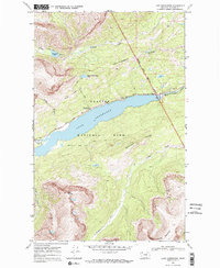
1968 Map of Lake Sherburne
USGS Topo · Published 1972About this map
Lake Sherburne dominates this high-altitude landscape where the mountainous peaks of the Lewis Range meet the edge of the plains. This 1968 field-checked survey highlights the interface between Glacier National Park and the Blackfeet Indian Reservation Boundary, which runs along the northeast corner of the sheet. The terrain is defined by dramatic vertical relief, from the depths of Swiftcurrent Creek to the heights of Wynn Mountain and East Flattop Mountain.
Find a feature on this map
27 named features on this map. Tap any name to fly to it.
Don’t see what you’re looking for? This feature index may not catch every label — zoom into the map to look around manually.
Map Details
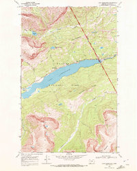
Editions of this 1968 Lake Sherburne Map
2 editions found
Other maps of this area

1901 · Browning
USGS Topo · 1:125,000

1903 · Browning
USGS Topo · 1:125,000

1904 · Chief Mountain
USGS Topo · 1:125,000

1938 · Chief Mountain
USGS Topo · 1:125,000

1960 · Cut Bank
USGS Topo · 1:250,000

1963 · Cut Bank
USGS Topo · 1:250,000

1964 · Cut Bank
USGS Topo · 1:250,000

1968 · Saint Mary
USGS Topo · 1:24,000

1968 · Gable Mountain
USGS Topo · 1:24,000

1968 · Babb
USGS Topo · 1:24,000