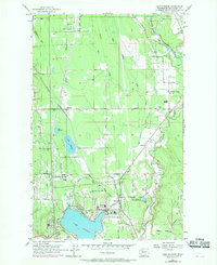
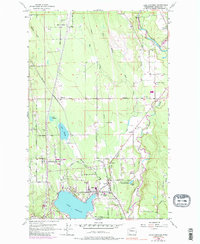
1956 Map of Lake Stevens
USGS Topo · Published 1969About this map
Lake Stevens serves as the focal point of this Snohomish County landscape, with its northern shoreline hosting the settlement of Hartford and the Mt Pilchuck School. The area is defined by its transition from industrial and transit corridors to rural homesteads, evidenced by the Northern Pacific railroad line cutting through the western portion of the map near East Sunnyside. Local civic life is captured through landmarks like the Granville Grange and the Paul Sevenich Boy Scout Camp located near Connor Lake.
Find a feature on this map
47 named features on this map. Tap any name to fly to it.
Don’t see what you’re looking for? This feature index may not catch every label — zoom into the map to look around manually.
Map Details
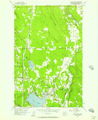
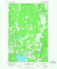
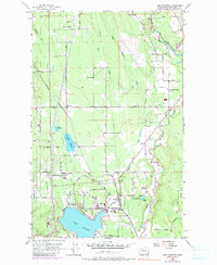
Editions of this 1956 Lake Stevens Map
5 editions found
Other maps of this area

1895 · Snohomish
USGS Topo · 1:125,000

1897 · Seattle
USGS Topo · 1:125,000

1899 · Stillaguamish
USGS Topo · 1:125,000

1901 · Stilaguamish
USGS Topo · 1:125,000

1911 · Mount Vernon
USGS Topo · 1:125,000

1921 · Sultan
USGS Topo · 1:125,000

1923 · Sultan
USGS Topo · 1:125,000

1941 · Marysville
USGS Topo · 1:62,500

1943 · Marysville
USGS Topo · 1:62,500

1944 · Everett
USGS Topo · 1:62,500