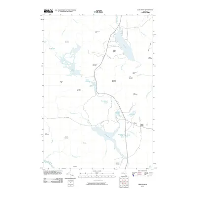
2010 Map of Lake Titus
USGS Topo · Published 2010About this map
Lake Titus and the surrounding Adirondack highlands define this landscape in the northern reaches of Franklin County. The waters of the Deer River Flow dominate the southern portion of the sheet, where complex wetland systems like Gourdshell Ponds and Spring Pond feed the river's path. Local industry and early settlement history are reflected in names like Furnace Mountain and Orebed Mountain, pointing toward a heritage of iron mining in the mountains south of Duane Center.
Find a feature on this map
58 named features on this map. Tap any name to fly to it.
Don’t see what you’re looking for? This feature index may not catch every label — zoom into the map to look around manually.
Map Details
Editions of this 2010 Lake Titus Map
This is the sole edition of this map. No revisions or reprints were ever made.
Other maps of this area

1906 · Loon Lake
USGS Topo · 1:62,500

1908 · Loon Lake
USGS Topo · 1:62,500

1915 · Chateaugay
USGS Topo · 1:62,500

1915 · Malone
USGS Topo · 1:62,500

1917 · Malone
USGS Topo · 1:62,500

1921 · Santa Clara
USGS Topo · 1:62,500

1923 · Santa Clara
USGS Topo · 1:62,500

1943 · Chateaugay
USGS Topo · 1:62,500

1948 · Ogdensburg
USGS Topo · 1:250,000

1951 · Ogdensburg
USGS Topo · 1:250,000