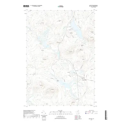
2019 Map of Lake Titus
USGS Topo · Published 2019About this map
Lake Titus serves as the centerpiece of this northern Adirondack landscape, where the water's edge is lined with residential developments such as Maple Ridge and a network of local roads including Tamarack Dr and Adler Dr. This 2019 survey captures the area within the Adirondack Park Preserve, characterized by a complex hydrography of ponds and flows. Notable among these are Lake Duane and the expansive Deer River Flow, which features the named Wrights Island.
Find a feature on this map
74 named features on this map. Tap any name to fly to it.
Don’t see what you’re looking for? This feature index may not catch every label — zoom into the map to look around manually.
Map Details
Editions of this 2019 Lake Titus Map
This is the sole edition of this map. No revisions or reprints were ever made.
Other maps of this area

1906 · Loon Lake
USGS Topo · 1:62,500

1908 · Loon Lake
USGS Topo · 1:62,500

1915 · Chateaugay
USGS Topo · 1:62,500

1915 · Malone
USGS Topo · 1:62,500

1917 · Malone
USGS Topo · 1:62,500

1921 · Santa Clara
USGS Topo · 1:62,500

1923 · Santa Clara
USGS Topo · 1:62,500

1943 · Chateaugay
USGS Topo · 1:62,500

1948 · Ogdensburg
USGS Topo · 1:250,000

1951 · Ogdensburg
USGS Topo · 1:250,000