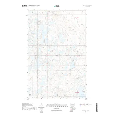
2020 Map of Lake Upsilon
USGS Topo · Published 2020About this map
Lake Upsilon and its surrounding wetlands characterize this high-elevation landscape within the Turtle Mountains of Rolette County. The terrain is defined by a dense concentration of glacial lakes and potholes, from larger bodies like Jarvis Lake and Belcourt Lake to smaller named waters such as Gravel Lake and Gordon Lake. This 2020 survey illustrates the modern layout of local infrastructure, including a network of Bureau of Indian Affairs roads and several cultural landmarks that reflect the community's heritage. To the south, the Turtle Mountain Community College stands near the shore of Belcourt Lake, while the Saint Benedict Cem and Mill Lake Cem provide valuable points of reference for genealogists and local historians. The proximity to the international border with the United States of America is marked along the northern edge, where remote roads like Edwards Ln and 108th St NE weave between Broom Lake and Fiestel Lake.
Find a feature on this map
39 named features on this map. Tap any name to fly to it.
Don’t see what you’re looking for? This feature index may not catch every label — zoom into the map to look around manually.
Map Details
Editions of this 2020 Lake Upsilon Map
This is the sole edition of this map. No revisions or reprints were ever made.
Other maps of this area

1936 · Lake Upsilon
USGS Topo · 1:48,000

1942 · Lake Upsilon
USGS Topo · 1:62,500

1953 · Devils Lake
USGS Topo · 1:250,000

1955 · Lake Upsilon SW
USGS Topo · 1:24,000

1956 · Devils Lake
USGS Topo · 1:250,000

1968 · Lake Upsilon SE
USGS Topo · 1:24,000
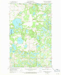
1968 · Carpenter Lake
USGS Topo · 1:24,000
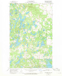
1968 · Lake Upsilon
USGS Topo · 1:24,000

1968 · Belcourt
USGS Topo · 1:24,000

1969 · Saint John
USGS Topo · 1:24,000