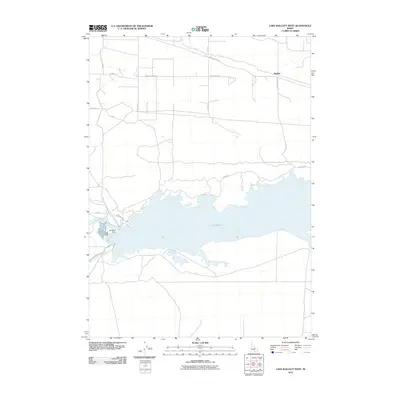
2010 Map of Lake Walcott West
USGS Topo · Published 2010About this map
Lake Walcott dominates this 2010 landscape, representing a critical intersection of hydrology and early 20th-century engineering in southern Idaho. The Snake River is harnessed here at the Minidoka Dam, a cornerstone of regional irrigation that feeds the complex network of the Main North Side Canal and Main South Side Canal. These waterways define the boundary between the reservoir's expansive reach and the structured agricultural grid to the north and south. The map documents a sparsely populated but highly organized territory, characterized by long, straight thoroughfares like Main Line Ranch Rd and River Ranch Rd that service the surrounding plains. To the northeast, the settlement of Hawley sits along the roadway system, while North Refuge Rd leads toward the protected wildlife habitats along the lake's northern shore. The survey provides a clear view of how the E Minidoka Dm infrastructure continues to manage the vital water resources of the Snake River Plain.
Find a feature on this map
20 named features on this map. Tap any name to fly to it.
Don’t see what you’re looking for? This feature index may not catch every label — zoom into the map to look around manually.
Map Details
Editions of this 2010 Lake Walcott West Map
This is the sole edition of this map. No revisions or reprints were ever made.
Other maps of this area

1954 · Pocatello
USGS Topo · 1:250,000

1958 · Pocatello
USGS Topo · 1:250,000

1959 · Lake Walcott
USGS Topo · 1:62,500

1964 · Rupert SE
USGS Topo · 1:24,000

1964 · Acequia
USGS Topo · 1:24,000

1972 · Schodde Well
USGS Topo · 1:24,000

1972 · Minidoka
USGS Topo · 1:24,000

1972 · Max
USGS Topo · 1:24,000
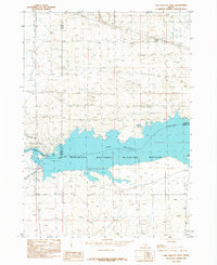
1984 · Lake Walcott West
USGS Topo · 1:24,000
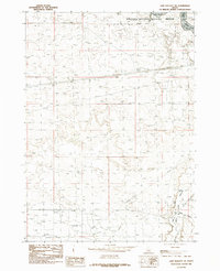
1984 · Lake Walcott SE
USGS Topo · 1:24,000