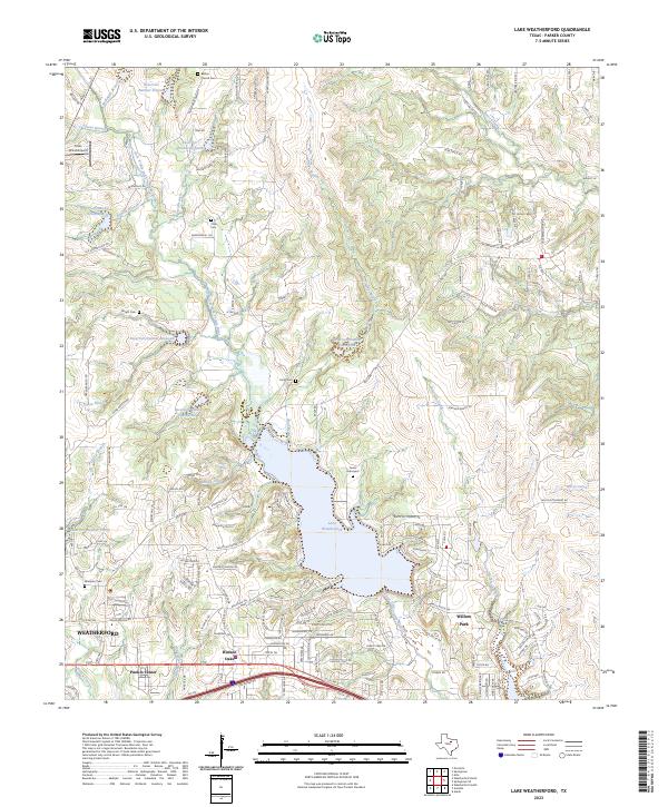
2023 Map of Lake Weatherford
USGS Topo · Published 2023About this map
Lake Weatherford serves as the central focal point of this Parker County landscape, where the waters of the Clear Fork Trinity River are captured amongst a series of smaller numbered reservoirs. The map documents a transition from the established city of Weatherford in the southwest to the developing residential corridors of Hudson Oaks and Willow Park along the southern edge. This area is particularly dense with genealogical sites, featuring several small, family-style burial grounds such as the Turner Graveyard and Dicey Cem, alongside the Bethel Church Cem near the northern boundary.
Find a feature on this map
161 named features on this map. Tap any name to fly to it.
Don’t see what you’re looking for? This feature index may not catch every label — zoom into the map to look around manually.
Map Details
Editions of this 2023 Lake Weatherford Map
This is the sole edition of this map. No revisions or reprints were ever made.
Other maps of this area

1891 · Weatherford
USGS Topo · 1:125,000

1893 · Weatherford
USGS Topo · 1:125,000

1931 · Dennis
USGS Topo · 1:62,500

1932 · Springtown
USGS Topo · 1:62,500

1954 · Dallas
USGS Topo · 1:250,000

1955 · Aledo
USGS Topo · 1:24,000

1955 · Azle
USGS Topo · 1:24,000
1955 · Springtown SE
USGS Topo · 1:24,000

1958 · Dallas
USGS Topo · 1:250,000

1958 · Springtown
USGS Topo · 1:24,000