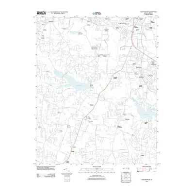
2010 Map of Lake Wheeler
USGS Topo · Published 2010About this map
The agrarian roots of Wake County meet the expanding suburban footprint of Raleigh in this 2010 survey. Significant institutional land use is evident at the North Carolina State University Research Units, which occupy a large central corridor alongside Yates Millpond Dam and the NC State University Farm Unit Number Two Dam. The landscape is deeply tied to its water systems, notably Lake Wheeler and Lake Benson, which are fed by the winding course of Swift Creek. Smaller historical nodes like McCullers Crossroads and Macedonia anchor the rural-to-residential transition.
Find a feature on this map
93 named features on this map. Tap any name to fly to it.
Don’t see what you’re looking for? This feature index may not catch every label — zoom into the map to look around manually.
Map Details
Editions of this 2010 Lake Wheeler Map
This is the sole edition of this map. No revisions or reprints were ever made.
Other maps of this area

1943 · Durham South
USGS Topo · 1:62,500

1943 · Raleigh
USGS Topo · 1:62,500

1951 · Raleigh
USGS Topo · 1:62,500

1951 · Durham South
USGS Topo · 1:62,500

1953 · Raleigh
USGS Topo · 1:250,000

1954 · Raleigh
USGS Topo · 1:250,000

1964 · Lake Wheeler
USGS Topo · 1:24,000

1964 · Garner
USGS Topo · 1:24,000

1964 · Angier
USGS Topo · 1:24,000

1964 · Edmondson
USGS Topo · 1:24,000