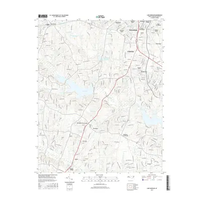
2016 Map of Lake Wheeler
USGS Topo · Published 2016About this map
Lake Wheeler serves as the central focal point of this Raleigh-area landscape, surrounded by a rapidly densifying network of suburban developments and essential regional institutions. The presence of Wake Technical Community Coll near McCullers Crossroads highlights the educational growth of the mid-2010s, while numerous family burial grounds like Stephens Cem, Pleasant Hill Cem, and Rand Cem provide a layer of genealogical history beneath the expanding residential subdivisions.
Find a feature on this map
102 named features on this map. Tap any name to fly to it.
Don’t see what you’re looking for? This feature index may not catch every label — zoom into the map to look around manually.
Map Details
Editions of this 2016 Lake Wheeler Map
This is the sole edition of this map. No revisions or reprints were ever made.
Other maps of this area

1943 · Durham South
USGS Topo · 1:62,500

1943 · Raleigh
USGS Topo · 1:62,500

1951 · Raleigh
USGS Topo · 1:62,500

1951 · Durham South
USGS Topo · 1:62,500

1953 · Raleigh
USGS Topo · 1:250,000

1954 · Raleigh
USGS Topo · 1:250,000

1964 · Lake Wheeler
USGS Topo · 1:24,000

1964 · Garner
USGS Topo · 1:24,000

1964 · Angier
USGS Topo · 1:24,000

1964 · Edmondson
USGS Topo · 1:24,000