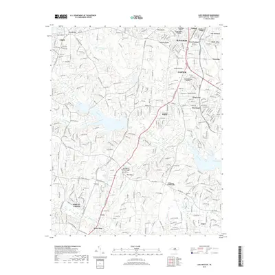
2019 Map of Lake Wheeler
USGS Topo · Published 2019About this map
Swift Creek and Dutchmans Branch wind through this part of southern Wake County, framing a landscape defined by historically significant crossroads and rural family settlements. McCullers Crossroads and Williams Crossroads stand as central points for the surrounding community, while smaller locales like Macedonia and Banks illustrate the decentralized growth patterns south of the state capital. The map is particularly valuable for genealogical research, identifying numerous family burial grounds such as Stephens Cem, Franklin Cem, and Jeridan Cem, alongside the larger Montlawn Memorial Park. This 2019 survey documents the area's modern infrastructure, including the Ten Ten RD corridor, while still preserving the names of traditional landmarks like Brighton Bluff and Woody's Lake.
Find a feature on this map
56 named features on this map. Tap any name to fly to it.
Don’t see what you’re looking for? This feature index may not catch every label — zoom into the map to look around manually.
Map Details
Editions of this 2019 Lake Wheeler Map
This is the sole edition of this map. No revisions or reprints were ever made.
Other maps of this area

1943 · Durham South
USGS Topo · 1:62,500

1943 · Raleigh
USGS Topo · 1:62,500

1951 · Raleigh
USGS Topo · 1:62,500

1951 · Durham South
USGS Topo · 1:62,500

1953 · Raleigh
USGS Topo · 1:250,000

1954 · Raleigh
USGS Topo · 1:250,000

1964 · Lake Wheeler
USGS Topo · 1:24,000

1964 · Garner
USGS Topo · 1:24,000

1964 · Angier
USGS Topo · 1:24,000

1964 · Edmondson
USGS Topo · 1:24,000