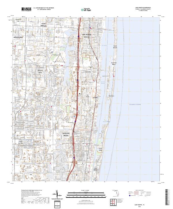
2024 Map of Lake Worth
USGS Topo · Published 2024About this map
Lake Worth Beach and the neighboring coastal communities of Lantana, Hypoluxo, and Boynton Beach characterize this densely developed stretch of the Florida coastline. The landscape is defined by the Intracoastal Waterway and Lake Worth, separating the mainland from the barrier island settlements of Manalapan, South Palm Beach, and Ocean Ridge. The mapping shows a complex network of residential developments and municipal boundaries, including Greenacres City and the inland town of Atlantis.
Find a feature on this map
49 named features on this map. Tap any name to fly to it.
Don’t see what you’re looking for? This feature index may not catch every label — zoom into the map to look around manually.
Map Details
Editions of this 2024 Lake Worth Map
This is the sole edition of this map. No revisions or reprints were ever made.
Other maps of this area

1945 · Greenacres City
USGS Topo · 1:24,000

1945 · Lake Worth
USGS Topo · 1:24,000

1946 · Palm Beach Farms
USGS Topo · 1:24,000

1946 · Palm Beach
USGS Topo · 1:24,000

1947 · Delmar Farms
USGS Topo · 1:24,000

1949 · Lake Worth
USGS Topo · 1:24,000

1949 · Palm Beach Farms
USGS Topo · 1:24,000

1949 · Delmar Farms
USGS Topo · 1:24,000

1950 · Delray Beach
USGS Topo · 1:24,000

1950 · Greenacres City
USGS Topo · 1:24,000