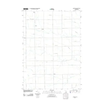
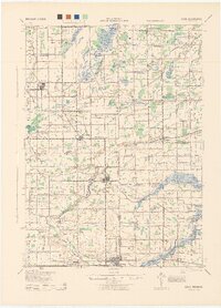
2011 Map of Lakefield
USGS Topo · Published 2011About this map
The agricultural plains of western Saginaw County are defined by a meticulous grid of rural roads and the winding paths of several waterways. Lakefield sits near the center of this landscape, surrounded by the headwaters of several drainages, including Beaver Creek and the southern reaches of Eagle Creek. The area maintains its rural character through the persistence of small settlements like Galloway and Fordney, which anchor the surrounding farmsteads and township lands.
Find a feature on this map
39 named features on this map. Tap any name to fly to it.
Don’t see what you’re looking for? This feature index may not catch every label — zoom into the map to look around manually.
Map Details
Editions of this 2011 Lakefield Map
This is the sole edition of this map. No revisions or reprints were ever made.
Other maps of this area
1917 · Chesaning
USGS Topo · 1:62,500
1917 · St. Charles
USGS Topo · 1:62,500
1918 · Elsie
USGS Topo · 1:62,500
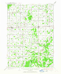
1934 · Merrill
USGS Topo · 1:62,500
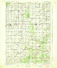
1937 · Merrill
USGS Topo · 1:62,500
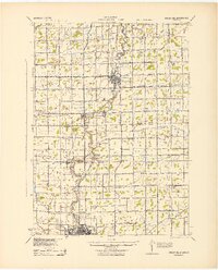
1943 · Chesaning
USGS Topo · 1:62,500
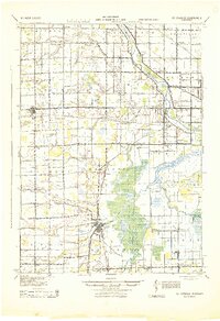
1943 · St. Charles
USGS Topo · 1:62,500
1943 · Elsie
USGS Topo · 1:62,500

1954 · Midland
USGS Topo · 1:250,000

1958 · Midland
USGS Topo · 1:250,000