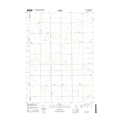
2014 Map of Lakefield
USGS Topo · Published 2014About this map
Lakefield and the surrounding township are defined by a complex network of tributaries draining toward the Bad River. This 2014 survey documents a landscape of agrarian squares, where long-established rural settlements like Galloway and Fordney sit at the intersections of a rigid grid system. The hydrography of the region is notably dense, featuring winding systems like Beaver Cr, Eagle Cr, and Potato Cr that cut across the section lines.
Find a feature on this map
48 named features on this map. Tap any name to fly to it.
Don’t see what you’re looking for? This feature index may not catch every label — zoom into the map to look around manually.
Map Details
Editions of this 2014 Lakefield Map
This is the sole edition of this map. No revisions or reprints were ever made.
Other maps of this area

1917 · Chesaning
USGS Topo · 1:62,500

1917 · St. Charles
USGS Topo · 1:62,500

1918 · Elsie
USGS Topo · 1:62,500

1934 · Merrill
USGS Topo · 1:62,500

1937 · Merrill
USGS Topo · 1:62,500

1943 · Chesaning
USGS Topo · 1:62,500

1943 · St. Charles
USGS Topo · 1:62,500

1943 · Elsie
USGS Topo · 1:62,500

1954 · Midland
USGS Topo · 1:250,000

1958 · Midland
USGS Topo · 1:250,000