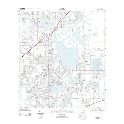
2012 Map of Lakeland
USGS Topo · Published 2012About this map
Lake-studded terrain defines the geography of central Florida, where industrial history and academic expansion converge. Notable for its dense concentration of water bodies, the landscape features Lake Hollingsworth, Lake Parker, and Lake Morton, which anchor the city's various neighborhoods. Educational institutions are prominent, including the sprawling campus of Florida Southern College—home to the distinctive J Edgar Wall Waterdome—and the Lakeland College of Business. The region's industrial past is visible in the network of roads such as Tenoroc Mine Rd and Mine and Mill Rd, pointing toward the phosphate mining history of Polk County. Aviation and sports also leave their mark with the Langford Seaplane Base on the north side and Joker Marchant Stadium providing local landmarks for researchers and residents alike.
Find a feature on this map
53 named features on this map. Tap any name to fly to it.
Don’t see what you’re looking for? This feature index may not catch every label — zoom into the map to look around manually.
Map Details
Editions of this 2012 Lakeland Map
This is the sole edition of this map. No revisions or reprints were ever made.
Other maps of this area
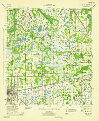
1944 · Plant City
USGS Topo · 1:31,680
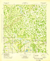
1944 · Providence
USGS Topo · 1:31,680
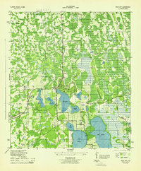
1944 · Polk City
USGS Topo · 1:31,680
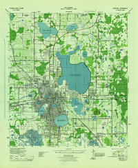
1944 · Lakeland
USGS Topo · 1:31,680
1944 · Auburndale
USGS Topo · 1:31,680
1944 · Socrum
USGS Topo · 1:31,680
1949 · Mulberry
USGS Topo · 1:24,000
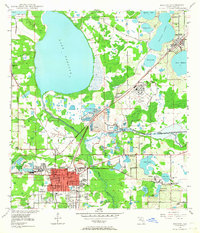
1949 · Bartow
USGS Topo · 1:24,000
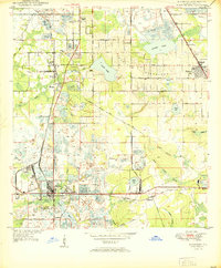
1950 · Mulberry
USGS Topo · 1:24,000
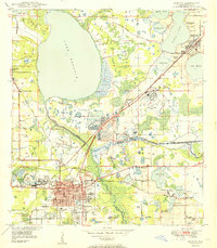
1950 · Bartow
USGS Topo · 1:24,000