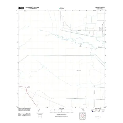
2012 Map of Lakeport
USGS Topo · Published 2012About this map
Lakeport and the archaeological significance of Fort Centre anchor this 2012 survey of the Glades County landscape. The geography is defined by the winding course of Fisheating Cr, which meanders through Sheridan Bend toward the massive water management infrastructure of the Herbert Hoover Dyke. This area represents a critical intersection of natural Florida hydrology and large-scale agricultural engineering, seen in the transition from the wetlands of Nicodemus Slough to organized plots like the Potato Farm. The map documents numerous local landmarks and family-named routes, including Snakepens Rd and Saddle Hammock, which provide a detailed look at land use near the northwestern shores of Lake Okeechobee.
Find a feature on this map
21 named features on this map. Tap any name to fly to it.
Don’t see what you’re looking for? This feature index may not catch every label — zoom into the map to look around manually.
Map Details
Editions of this 2012 Lakeport Map
This is the sole edition of this map. No revisions or reprints were ever made.
Other maps of this area
1953 · Brighton SW
USGS Topo · 1:24,000
1953 · Brighton SE
USGS Topo · 1:24,000

1956 · West Palm Beach
USGS Topo · 1:250,000
1956 · Fort Pierce
USGS Topo · 1:250,000

1957 · West Palm Beach
USGS Topo · 1:250,000
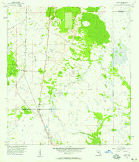
1957 · Venus
USGS Topo · 1:24,000
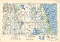
1958 · Fort Pierce
USGS Topo · 1:250,000

1958 · West Palm Beach
USGS Topo · 1:250,000
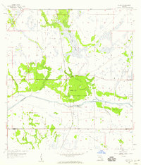
1958 · Goodno
USGS Topo · 1:24,000
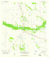
1958 · Palmdale
USGS Topo · 1:24,000