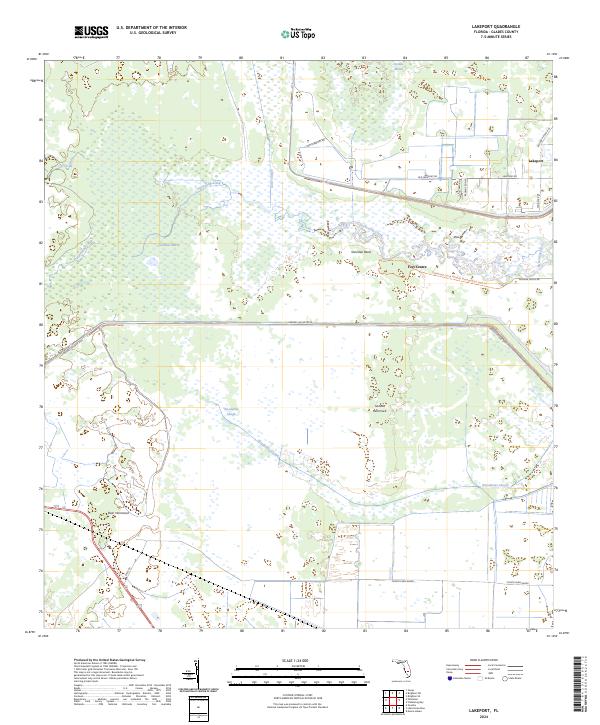
2024 Map of Lakeport
USGS Topo · Published 2024About this map
Fisheating Creek winds through the heart of this landscape, a critical waterway feeding into the Everglades ecosystem. The area is defined by its extensive wetlands and historical earthworks, most notably Fort Centre, an archaeological site of significant antiquity situated near Sheridan Bend. The 2024 map documents the sophisticated water management infrastructure of Glades County, dominated by the massive Herbert Hoover Dike that separates the northern marshes from the Lake Okeechobee basin.
Find a feature on this map
27 named features on this map. Tap any name to fly to it.
Don’t see what you’re looking for? This feature index may not catch every label — zoom into the map to look around manually.
Map Details
Editions of this 2024 Lakeport Map
This is the sole edition of this map. No revisions or reprints were ever made.
Other maps of this area

1953 · Brighton SW
USGS Topo · 1:24,000

1953 · Brighton SE
USGS Topo · 1:24,000

1956 · West Palm Beach
USGS Topo · 1:250,000

1956 · Fort Pierce
USGS Topo · 1:250,000

1957 · West Palm Beach
USGS Topo · 1:250,000

1957 · Venus
USGS Topo · 1:24,000

1958 · Fort Pierce
USGS Topo · 1:250,000

1958 · West Palm Beach
USGS Topo · 1:250,000

1958 · Goodno
USGS Topo · 1:24,000
1958 · Palmdale
USGS Topo · 1:24,000