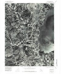
1977 Map of Lakeport
USGS Topo · Published 1979About this map
Lakeport sits along the western shoreline of Clear Lake, serving as a focal point for this 1977 orthophotoquad. The imagery reveals the established town grid and lakeside development just before the close of the decade, contrasted by the steep, wooded terrain of Mcgregor Ridge to the west. Agriculture and orchards occupy the valley floor between the hills and the water, where Scotts Creek meanders toward the lake. The high-contrast aerial photography provides a distinct view of the land use patterns during this era, from the residential clusters near Rocky Pt to the prominent height of Lakeport Peak. This format emphasizes the actual vegetation and structure footprints as they existed in the late seventies, offering a literal visual record of the shoreline and its surrounding slopes.
Find a feature on this map
6 named features on this map. Tap any name to fly to it.
Don’t see what you’re looking for? This feature index may not catch every label — zoom into the map to look around manually.
Map Details
Editions of this 1977 Lakeport Map
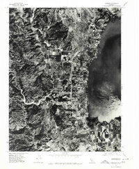
2 editions found
Other maps of this area

1920 · Ukiah
USGS Topo · 1:62,500

1921 · Kelseyville
USGS Topo · 1:62,500

1938 · Lakeport
USGS Topo · 1:62,500

1938 · Hopland
USGS Topo · 1:62,500

1943 · Kelseyville
USGS Topo · 1:62,500

1943 · Hopland
USGS Topo · 1:62,500

1944 · Ukiah
USGS Topo · 1:62,500

1944 · Hopland
USGS Topo · 1:62,500

1947 · Santa Rosa
USGS Topo · 1:250,000

1949 · Santa Rosa
USGS Topo · 1:250,000