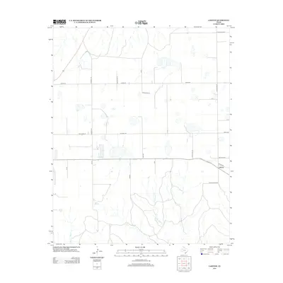
2012 Map of Laketon
USGS Topo · Published 2012About this map
Laketon sits as a quiet focal point within this Panhandle landscape, where the High Plains terrain is etched by the meandering drainage of Cantonment Cr. The settlement pattern is defined by a rigid grid of ranch and section roads, a hallmark of the Texas ranching economy in the early 21st century. Significant local travel routes like Sante Fe Rd and Mclauglin Rd intersect near the community, while named landmarks such as Rock House Rd and Franklin Ranch Rd suggest established family holdings and historic ranch boundaries. The map reflects a working landscape where water management and transportation are paramount, evidenced by the numerous small depressions and drainage patterns that feed into the local creek systems.
Find a feature on this map
24 named features on this map. Tap any name to fly to it.
Don’t see what you’re looking for? This feature index may not catch every label — zoom into the map to look around manually.
Map Details
Editions of this 2012 Laketon Map
This is the sole edition of this map. No revisions or reprints were ever made.
Other maps of this area

1954 · Amarillo
USGS Topo · 1:250,000

1958 · Amarillo
USGS Topo · 1:250,000

1962 · Pond Creek
USGS Topo · 1:24,000

1962 · Pond Creek NW
USGS Topo · 1:24,000

1966 · Laketon
USGS Topo · 1:24,000

1967 · Lefors
USGS Topo · 1:24,000

1967 · Hoover
USGS Topo · 1:24,000

1967 · Tody School
USGS Topo · 1:24,000

1967 · Lora
USGS Topo · 1:24,000

1972 · Pampa NE
USGS Topo · 1:24,000