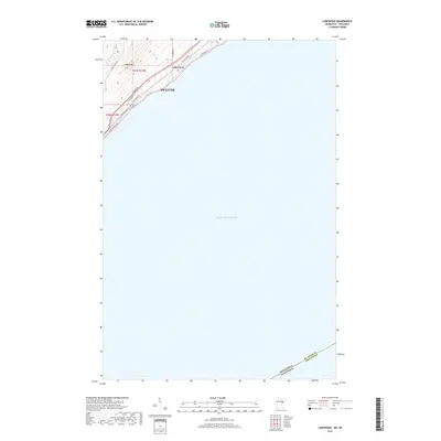
2019 Map of Lakewood
USGS Topo · Published 2019About this map
Lake Superior dominates this northeastern Minnesota survey, where the cooling waters meet the shoreline of eastern Duluth. The terrain rises sharply from the lake towards Moose Mtn, reaching elevations of over 1000 feet just inland from the coastal road network. This topographical transition is carved by the Lester River, which flows through the rugged landscape before emptying into the Great Lake. The settlement of Lakewood is situated at the junction of Lakewood Rd and the coast, highlighting a corridor of development that follows the water. Historic transit routes like Congdon Blvd, Old N Shore Rd, and London Rd trace the shoreline, providing a detailed look at the infrastructure connecting this suburban area to the urban core of Duluth. The map also documents the state boundary where Minnesota and Wisconsin meet in the open waters of the lake.
Find a feature on this map
16 named features on this map. Tap any name to fly to it.
Don’t see what you’re looking for? This feature index may not catch every label — zoom into the map to look around manually.
Map Details
Editions of this 2019 Lakewood Map
This is the sole edition of this map. No revisions or reprints were ever made.
Other maps of this area

1895 · Duluth
USGS Topo · 1:62,500

1915 · Superior
USGS Topo · 1:48,000

1917 · Superior
USGS Topo · 1:62,500

1949 · Poplar
USGS Topo · 1:48,000

1953 · Lakewood
USGS Topo · 1:24,000

1953 · French River
USGS Topo · 1:24,000

1953 · Arnold
USGS Topo · 1:24,000

1953 · Duluth
USGS Topo · 1:24,000

1953 · Knife River
USGS Topo · 1:24,000

1953 · Duluth
USGS Topo · 1:62,500