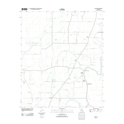
2012 Map of Lamar
USGS Topo · Published 2012About this map
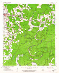
Bayou Macon defines the eastern boundary of this Franklin Parish landscape, where the legacy of river transport meets modern energy extraction. Historically significant points along the water, such as Warsaw Landing, Sunrise Landing, and Indian Landing, suggest a time when the river was the primary artery for local commerce. The inclusion of the Warsaw Ferry crossing remains a notable landmark for those tracing old travel routes through the region.
Find a feature on this map
71 named features on this map. Tap any name to fly to it.
Don’t see what you’re looking for? This feature index may not catch every label — zoom into the map to look around manually.
Map Details
Editions of this 2012 Lamar Map
This is the sole edition of this map. No revisions or reprints were ever made.
Other maps of this area
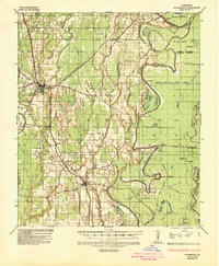
1935 · Winnsboro
USGS Topo · 1:62,500
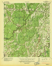
1935 · Baskinton
USGS Topo · 1:62,500
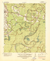
1935 · Waverly
USGS Topo · 1:62,500
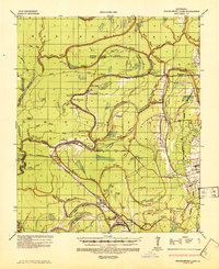
1935 · Shackleford Lake
USGS Topo · 1:62,500

1955 · Jackson
USGS Topo · 1:250,000
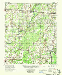
1958 · Baskinton
USGS Topo · 1:62,500
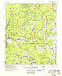
1958 · Shackleford Lake
USGS Topo · 1:62,500
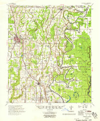
1958 · Winnsboro
USGS Topo · 1:62,500

1961 · Jackson
USGS Topo · 1:250,000
1961 · Waverly
USGS Topo · 1:62,500