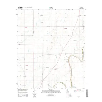
2015 Map of Lamar
USGS Topo · Published 2015About this map
The eastern border of Franklin Parish meets Madison Parish along the winding course of Bayou Macon, defining a landscape where river access remains a primary geographic anchor. This 2015 survey reveals a pattern of riverfront activity concentrated at numerous landings, including Jackson Landing, Warsaw Landing, and Indian Landing, which likely serve as historic and modern points of entry to the bayou. These riverside sites are connected to the interior via agricultural corridors like La-858 and Earl Stroud Rd.
Find a feature on this map
76 named features on this map. Tap any name to fly to it.
Don’t see what you’re looking for? This feature index may not catch every label — zoom into the map to look around manually.
Map Details
Editions of this 2015 Lamar Map
This is the sole edition of this map. No revisions or reprints were ever made.
Other maps of this area

1935 · Winnsboro
USGS Topo · 1:62,500

1935 · Baskinton
USGS Topo · 1:62,500

1935 · Waverly
USGS Topo · 1:62,500

1935 · Shackleford Lake
USGS Topo · 1:62,500

1955 · Jackson
USGS Topo · 1:250,000

1958 · Baskinton
USGS Topo · 1:62,500

1958 · Shackleford Lake
USGS Topo · 1:62,500

1958 · Winnsboro
USGS Topo · 1:62,500

1961 · Jackson
USGS Topo · 1:250,000

1961 · Waverly
USGS Topo · 1:62,500