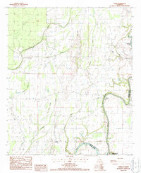
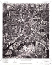
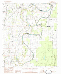
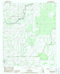
1987 Map of Lamar
USGS Topo · Published 1987This historical map portrays the area of Lamar in 1987, primarily covering Franklin Parish as well as portions of Madison Parish. Featuring a scale of 1:24000, this map provides a highly detailed snapshot of the terrain, roads, buildings, counties, and historical landmarks in the Lamar region at the time. Published in 1987, it is the sole known edition of this map.
Find a feature on this map
16 named features on this map. Tap any name to fly to it.
Don’t see what you’re looking for? This feature index may not catch every label — zoom into the map to look around manually.
Map Details
Editions of this 1987 Lamar Map
This is the sole edition of this map. No revisions or reprints were ever made.
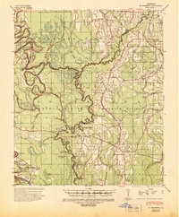
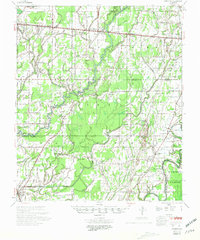
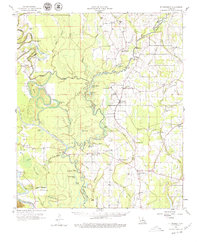
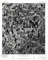
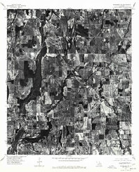
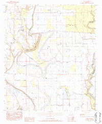
Historical Maps of Warsaw Ferry Through Time
16 maps found

1935 Baskinton
Franklin Parish, LA
1939 Fort Necessity
Franklin Parish, LA
1958 Baskinton
Franklin Parish, LA
1958 Fort Necessity
Franklin Parish, LA
1976 Sicily Island NW
Franklin Parish, LA
1976 Winnsboro NW
Franklin Parish, LA
1976 Winnsboro SW
Franklin Parish, LA
1983 Como
Franklin Parish, LA
1983 Crowville
Franklin Parish, LA

1983 Fort Necessity
Franklin Parish, LA
1983 Liddieville
Franklin Parish, LA
1983 Oakley
Franklin Parish, LA
1984 Extension
Franklin Parish, LA
1987 Baskinton
Franklin Parish, LA
1987 Lamar
Franklin Parish, LA

1998 Lamar
Franklin Parish, LA