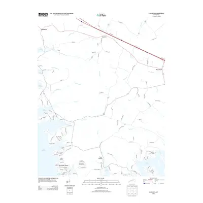
2013 Map of Lamasco
USGS Topo · Published 2013About this map
Trigg Furnace and the shoreline of Lake Barkley define this portion of Trigg County, Kentucky. This landscape illustrates the complex intersection of early industrial heritage and modern recreational development. The presence of Rockcastle and the newer residential layouts of Rockcastle Shores and Goose Hollow demonstrate how settlement patterns have shifted toward the water. A dense network of local roads such as McNabb Creek Rd and Ferguson Rd connects the northern settlements of Lamasco and Confederate. Significant tributaries including Hurricane Cr, Motley Cr, and Dry Fork Cr drain the interior, carving through the terrain before meeting the lake. This topography reveals the lasting footprint of the area's geography on both its historical hamlets and its contemporary road system.
Find a feature on this map
118 named features on this map. Tap any name to fly to it.
Don’t see what you’re looking for? This feature index may not catch every label — zoom into the map to look around manually.
Map Details
Editions of this 2013 Lamasco Map
This is the sole edition of this map. No revisions or reprints were ever made.
Other maps of this area

1908 · Princeton
USGS Topo · 1:62,500

1910 · Princeton
USGS Topo · 1:62,500

1928 · Eddyville
USGS Topo · 1:48,000

1931 · Eddyville
USGS Topo · 1:62,500

1936 · Eddyville
USGS Topo · 1:48,000

1936 · Mont
USGS Topo · 1:24,000

1936 · Fenton
USGS Topo · 1:24,000

1936 · Golden Pond
USGS Topo · 1:48,000

1949 · Paducah
USGS Topo · 1:250,000

1950 · Paducah
USGS Topo · 1:250,000