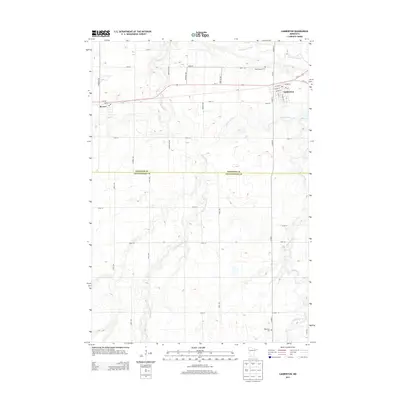
2013 Map of Lamberton
USGS Topo · Published 2013About this map
Lamberton and Revere anchor the northern reaches of this landscape where the Cottonwood River meanders across the border of Redwood and Cottonwood Counties. The map reveals a highly structured agricultural grid, where long thoroughfares like Frontier Ave and Ilex St intersect with named county roads. Genealogists and local historians will find the locations of Saint Joseph Cem near the river and Highwater Cem to the south particularly useful for tracing family roots. The terrain is defined by its drainages, with Dutch Charley Cr and Pell Cr cutting subtle paths through the prairie towards the larger river system. This survey provides a precise view of the rural infrastructure and civic boundaries at the dawn of the 2010s.
Find a feature on this map
39 named features on this map. Tap any name to fly to it.
Don’t see what you’re looking for? This feature index may not catch every label — zoom into the map to look around manually.
Map Details
Editions of this 2013 Lamberton Map
This is the sole edition of this map. No revisions or reprints were ever made.
Other maps of this area

1953 · New Ulm
USGS Topo · 1:250,000

1957 · New Ulm
USGS Topo · 1:250,000

1958 · New Ulm
USGS Topo · 1:250,000

1967 · New Ulm
USGS Topo · 1:250,000

1967 · Wanda
USGS Topo · 1:24,000

1967 · Sanborn
USGS Topo · 1:24,000

1967 · Wabasso SE
USGS Topo · 1:24,000

1967 · Walnut Grove
USGS Topo · 1:24,000

1967 · Storden
USGS Topo · 1:24,000

1967 · Jeffers
USGS Topo · 1:24,000