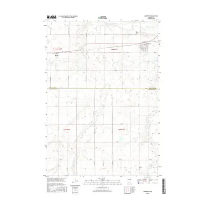
2016 Map of Lamberton
USGS Topo · Published 2016About this map
Lamberton and Revere serve as the primary residential hubs in this western Minnesota landscape, situated along the northern tier of the survey. The town of Lamberton is mapped in detail, showing a clear grid of streets including Broadway St, S Main St, and S Douglas St. To the south, the terrain transitions into a more rural agricultural pattern, defined by the winding paths of several watercourses. The Cottonwood River flows across the northern sections, while Pell Cr, Dutch Charley Cr, and Highwater Cr drainage systems create a textured network across the farmland. This 2016 survey captures the boundary between Redwood Co and Cottonwood Co, providing a clear view of the regional road network from state routes like Hwy 330 to local county roads. Genealogists will find the locations of Saint Joseph Cem and Highwater Cem helpful for identifying family burial sites in these rural townships.
Find a feature on this map
53 named features on this map. Tap any name to fly to it.
Don’t see what you’re looking for? This feature index may not catch every label — zoom into the map to look around manually.
Map Details
Editions of this 2016 Lamberton Map
This is the sole edition of this map. No revisions or reprints were ever made.
Other maps of this area

1953 · New Ulm
USGS Topo · 1:250,000

1957 · New Ulm
USGS Topo · 1:250,000

1958 · New Ulm
USGS Topo · 1:250,000

1967 · New Ulm
USGS Topo · 1:250,000

1967 · Wanda
USGS Topo · 1:24,000

1967 · Sanborn
USGS Topo · 1:24,000

1967 · Wabasso SE
USGS Topo · 1:24,000

1967 · Walnut Grove
USGS Topo · 1:24,000

1967 · Storden
USGS Topo · 1:24,000

1967 · Jeffers
USGS Topo · 1:24,000