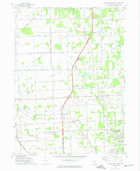
1972 Map of Lambertville West
USGS Topo · Published 1975About this map
Ottawa Lake and the vast Ottawa Lakebed anchor this 1970s landscape on the Michigan-Ohio border, where the flat terrain is defined by a dense network of agricultural drainage. The Detroit Toledo and Ironton and Penn Central railroads cut through a patchwork of small communities like Morocco, Tunnicliffe, and St Anthony. The map reveals a transition toward suburbanization around Lambertville while maintaining its rural character through established institutions like the Whiteford Agricultural High Sch and Whiteford Wesleyan Ch.
Find a feature on this map
78 named features on this map. Tap any name to fly to it.
Don’t see what you’re looking for? This feature index may not catch every label — zoom into the map to look around manually.
Map Details
Editions of this 1972 Lambertville West Map
2 editions found
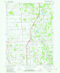
Other maps of this area

1900 · Toledo
USGS Topo · 1:62,500

1911 · Swanton
USGS Topo · 1:62,500

1912 · Dundee
USGS Topo · 1:62,500

1914 · Swanton
USGS Topo · 1:62,500

1926 · Dundee
USGS Topo · 1:62,500

1935 · Berkey
USGS Topo · 1:24,000

1936 · Samaria
USGS Topo · 1:31,680
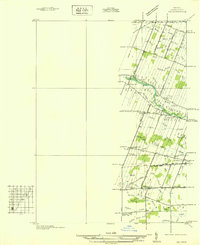
1936 · Ida
USGS Topo · 1:31,680
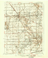
1937 · Sylvania
USGS Topo · 1:31,680
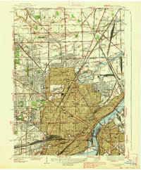
1938 · Toledo
USGS Topo · 1:31,680
Featured Places
- Bedford Township, MI
- Lambertville, Bedford Township
- Ida Township, MI
- Whiteford Township, MI
- Summerfield Township, MI