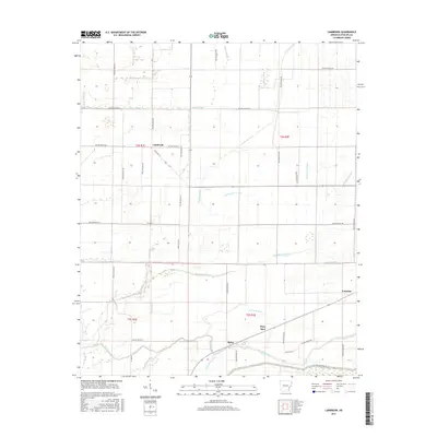
2017 Map of Lambrook
USGS Topo · Published 2017About this map
The low-lying alluvial plains of Phillips County are defined by a complex network of wetlands and drainage systems, where Lambrook sits as a central settlement. The landscape is dominated by the winding paths of Yellow Bank Bayou, Big Sandy Bayou, and Middle Bayou, which navigate the flat delta terrain. These natural watercourses are interspersed with numerous sloughs, including Jessie Slough in the north and Humphrey Slough cutting across the central sections. The irrigation and drainage patterns are further evidence of the area's agricultural focus, with features like Cypress Ditch and Cottonwood Slough integrated into the rural grid.
Find a feature on this map
44 named features on this map. Tap any name to fly to it.
Don’t see what you’re looking for? This feature index may not catch every label — zoom into the map to look around manually.
Map Details
Editions of this 2017 Lambrook Map
This is the sole edition of this map. No revisions or reprints were ever made.
Other maps of this area

1930 · Mellwood
USGS Topo · 1:62,500

1939 · Modoc
USGS Topo · 1:62,500

1939 · Indian Bay
USGS Topo · 1:62,500

1939 · Henrico
USGS Topo · 1:62,500

1939 · Mellwood
USGS Topo · 1:62,500

1948 · Helena
USGS Topo · 1:250,000

1948 · Modoc
USGS Topo · 1:62,500

1950 · Helena
USGS Topo · 1:250,000

1954 · Mellwood
USGS Topo · 1:62,500

1954 · Indian Bay
USGS Topo · 1:62,500