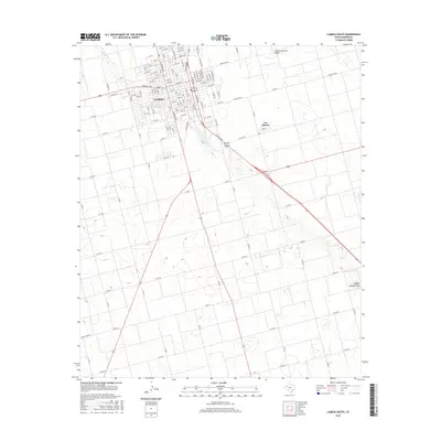
2016 Map of Lamesa South
USGS Topo · Published 2016About this map
Lamesa anchors the northwestern corner of this West Texas landscape, showing a dense residential grid that transitions into the broad agricultural reaches of Dawson County. The city's northern neighborhoods are defined by numbered streets ranging from N 19th St down to the commercial and industrial corridors. Just southeast of the main city center lies Los Ybanez, a distinct smaller settlement situated along the highway routes.
Find a feature on this map
107 named features on this map. Tap any name to fly to it.
Don’t see what you’re looking for? This feature index may not catch every label — zoom into the map to look around manually.
Map Details
Editions of this 2016 Lamesa South Map
This is the sole edition of this map. No revisions or reprints were ever made.
Other maps of this area

1954 · Hobbs
USGS Topo · 1:250,000

1954 · Big Spring
USGS Topo · 1:250,000

1958 · Big Spring
USGS Topo · 1:250,000

1958 · Hobbs
USGS Topo · 1:250,000

1968 · Lamesa North
USGS Topo · 1:24,000

1968 · Hancock
USGS Topo · 1:24,000

1969 · Punkin Center
USGS Topo · 1:24,000

1970 · Patricia
USGS Topo · 1:24,000

1970 · Lamesa South
USGS Topo · 1:24,000

1970 · Key
USGS Topo · 1:24,000