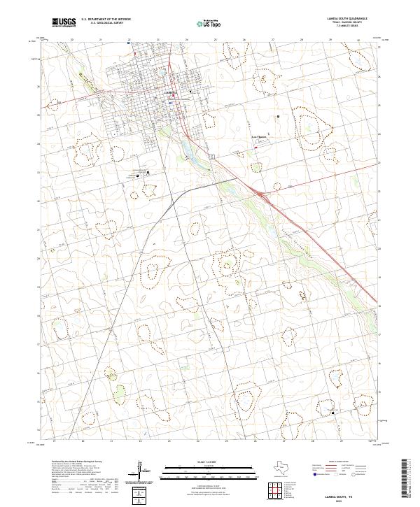
2022 Map of Lamesa South
USGS Topo · Published 2022About this map
Dawson County Courthouse stands as the central landmark of Lamesa, anchoring the urban grid where the High Plains terrain begins its gradual descent toward the southeast. This contemporary survey captures the modern street layout of the city, including thoroughfares like Seminole Rd and Main St, while providing significant detail for genealogists through its mapping of local burial grounds. Four distinct sites are documented, ranging from the central Pioneer Cem to the outlying Five Mile Cem. South of the main city center, the small municipality of Los Ybanez appears along the highway. The physical landscape is defined by the prominent Sulphur Springs Draw, a drainage feature that cuts diagonally across the southern plains, transitioning into the label Sulfur Draw as it moves toward the county line.
Find a feature on this map
27 named features on this map. Tap any name to fly to it.
Don’t see what you’re looking for? This feature index may not catch every label — zoom into the map to look around manually.
Map Details
Editions of this 2022 Lamesa South Map
This is the sole edition of this map. No revisions or reprints were ever made.
Other maps of this area

1954 · Hobbs
USGS Topo · 1:250,000

1954 · Big Spring
USGS Topo · 1:250,000

1958 · Big Spring
USGS Topo · 1:250,000

1958 · Hobbs
USGS Topo · 1:250,000

1968 · Lamesa North
USGS Topo · 1:24,000

1968 · Hancock
USGS Topo · 1:24,000

1969 · Punkin Center
USGS Topo · 1:24,000

1970 · Patricia
USGS Topo · 1:24,000

1970 · Lamesa South
USGS Topo · 1:24,000

1970 · Key
USGS Topo · 1:24,000