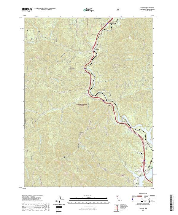
2022 Map of Lamoine
USGS Topo · Published 2022About this map
The Sacramento River carves a deep path through the canyonlands of the Shasta National Forest on this modern survey. Settlement patterns here are tied closely to the river valley and the high-speed transit corridor of I-5, which links small mountain communities like Lamoine, Vollmers, and Pollock. The landscape is defined by steep, drainage-rich terrain, where features like Mosquito Creek Ridge and Backbone Ridge separate numerous gulches and canyons.
Find a feature on this map
52 named features on this map. Tap any name to fly to it.
Don’t see what you’re looking for? This feature index may not catch every label — zoom into the map to look around manually.
Map Details
Editions of this 2022 Lamoine Map
This is the sole edition of this map. No revisions or reprints were ever made.
Other maps of this area

1886 · Shasta
USGS Topo · 1:250,000

1890 · Red Bluff
USGS Topo · 1:250,000

1894 · Red Bluff
USGS Topo · 1:250,000

1894 · Shasta
USGS Topo · 1:250,000

1901 · Redding
USGS Topo · 1:125,000

1913 · Weaverville
USGS Topo · 1:125,000

1923 · Sawyers Bar
USGS Topo · 1:125,000

1931 · Etna
USGS Topo · 1:96,000

1934 · Etna
USGS Topo · 1:125,000

1935 · Dunsmuir
USGS Topo · 1:125,000