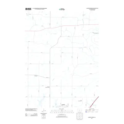
2013 Map of Lamoni North
USGS Topo · Published 2013About this map
Lamoni serves as the southern anchor of this southern Iowa landscape, where the northern reaches of the town give way to a network of creeks and small aviation facilities. The terrain is defined by the winding course of the Thompson River to the east and the intricate drainage of Pot Hole Cr, W Elk Cr, and S Elk Cr. Aviation history is well-represented on this quadrangle, featuring both the Lamoni Municipal Airport and the specialized Solly's Strip Ultralight Flightpark.
Find a feature on this map
49 named features on this map. Tap any name to fly to it.
Don’t see what you’re looking for? This feature index may not catch every label — zoom into the map to look around manually.
Map Details
Editions of this 2013 Lamoni North Map
This is the sole edition of this map. No revisions or reprints were ever made.
Other maps of this area

1945 · Mount Ayr
USGS Topo · 1:62,500

1945 · Lamoni
USGS Topo · 1:62,500

1947 · Lamoni
USGS Topo · 1:62,500

1947 · Mount Ayr
USGS Topo · 1:62,500

1954 · Centerville
USGS Topo · 1:250,000

1955 · Nebraska City
USGS Topo · 1:250,000

1957 · Nebraska City
USGS Topo · 1:250,000

1957 · Centerville
USGS Topo · 1:250,000

1958 · Centerville
USGS Topo · 1:250,000

1958 · Nebraska City
USGS Topo · 1:250,000