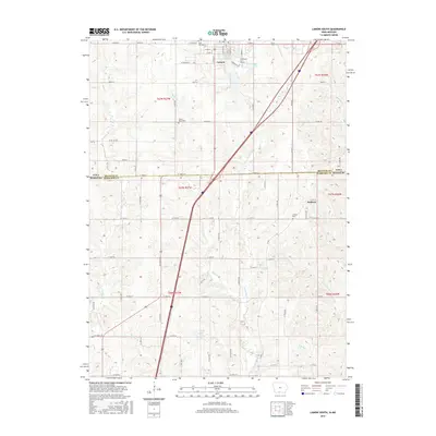
2015 Map of Lamoni South
USGS Topo · Published 2015About this map
Lamoni serves as the primary northern hub of this landscape, situated along the shared border where Iowa meets Missouri. The map captures the southern reaches of the town, including the campus of Graceland Univ - Lamoni, a central educational institution for the region. To the east, the settlement of Andover sits atop a rise near the Andover Cem, illustrating the early township development patterns in Decatur and Harrison Counties.
Find a feature on this map
54 named features on this map. Tap any name to fly to it.
Don’t see what you’re looking for? This feature index may not catch every label — zoom into the map to look around manually.
Map Details
Editions of this 2015 Lamoni South Map
This is the sole edition of this map. No revisions or reprints were ever made.
Other maps of this area

1945 · Mount Ayr
USGS Topo · 1:62,500

1945 · Lamoni
USGS Topo · 1:62,500

1947 · Lamoni
USGS Topo · 1:62,500

1947 · Blythedale
USGS Topo · 1:62,500

1947 · Mount Ayr
USGS Topo · 1:62,500

1948 · Bethany
USGS Topo · 1:62,500

1954 · Centerville
USGS Topo · 1:250,000

1955 · Nebraska City
USGS Topo · 1:250,000

1957 · Nebraska City
USGS Topo · 1:250,000

1957 · Centerville
USGS Topo · 1:250,000