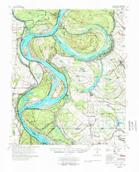
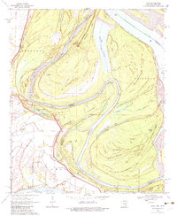
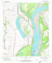
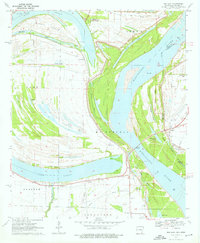
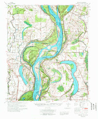
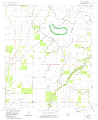
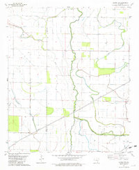
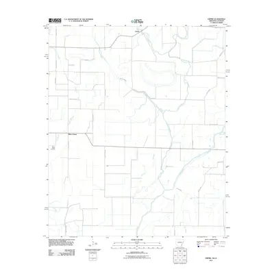
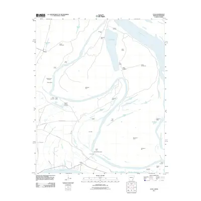
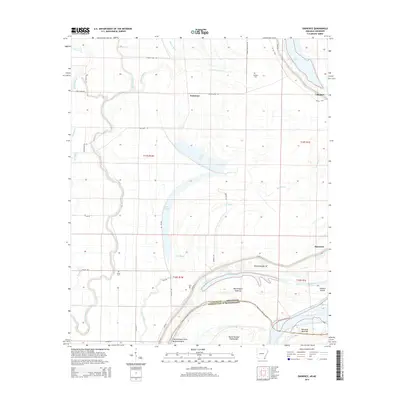
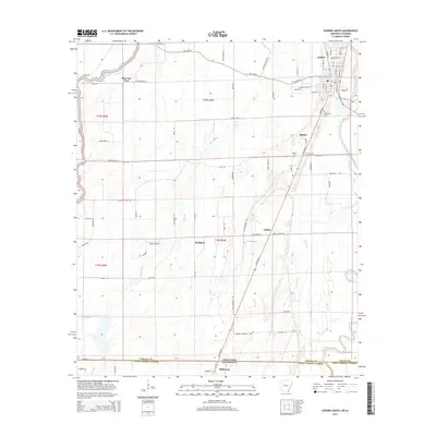
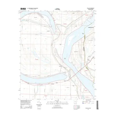
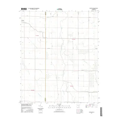
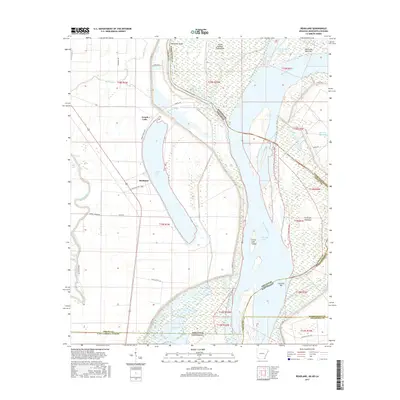
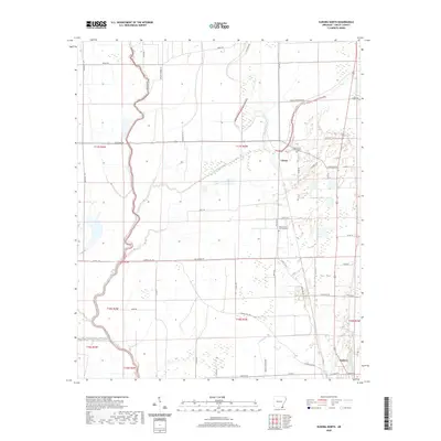
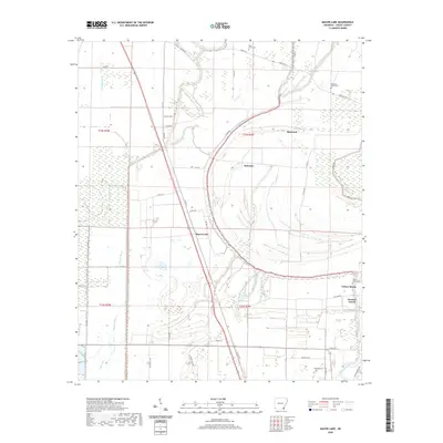
1977 Map of Lamont
USGS Topo · Published 1977About this map
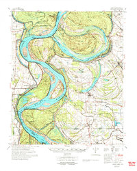
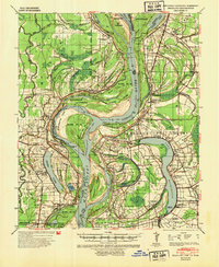
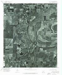
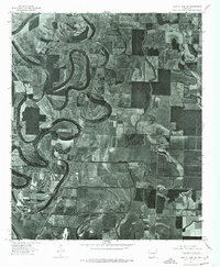
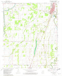
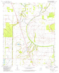
Arkansas City sits behind protective levees on the western bank of the Mississippi, anchoring a landscape defined by the river's massive migrations and engineered interventions. The dramatic Caulk Cut-Off (1937) and Ashbrook Cut-Off (1935) illustrate the mid-century effort to shorten the river's path, leaving behind oxbows like Caulk Lake and Lake Whittington. The complexity of this borderland is further marked by the Treaty Boundary (1818), which cuts across modern oxbows, indicating how significantly the main channel has shifted since the early 19th century.
Find a feature on this map
127 named features on this map. Tap any name to fly to it.
Don’t see what you’re looking for? This feature index may not catch every label — zoom into the map to look around manually.
Map Details
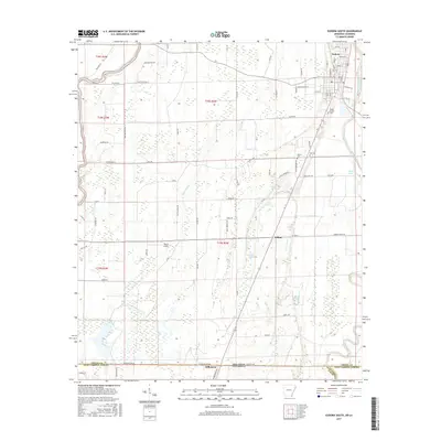
Editions of this 1977 Lamont Map
2 editions found
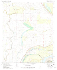
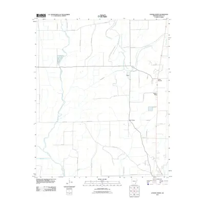
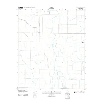
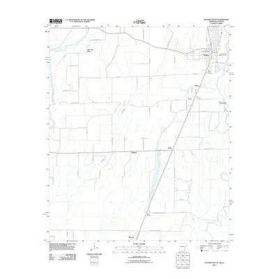
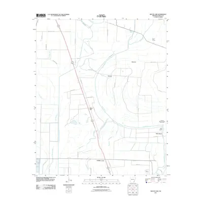
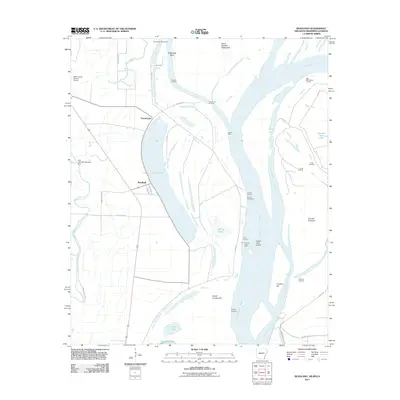
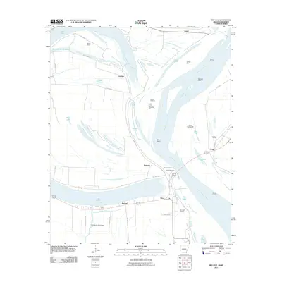
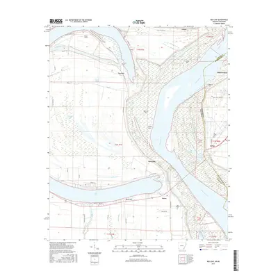
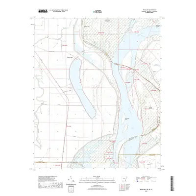
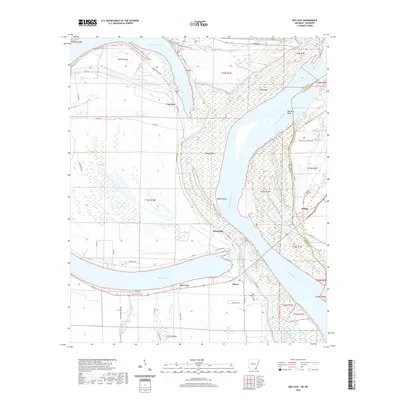
Historical Maps of Benoit Through Time
60 maps found

1933 Lamont
Chicot County, AR
1939 Readland
Chicot County, AR
1970 Eminence
Chicot County, AR
1970 Luna
Chicot County, AR
1970 Readland
Chicot County, AR
1970 Red Leaf
Chicot County, AR
1972 Readland
Chicot County, AR
1975 Lake Village NE
Chicot County, AR
1975 Lake Village NW
Chicot County, AR
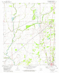
1977 Lamont
Chicot County, AR
1981 Empire
Chicot County, AR
1981 Eudora North
Chicot County, AR
1981 Eudora NW
Chicot County, AR
1981 Eudora South
Chicot County, AR
1981 Macon Lake
Chicot County, AR
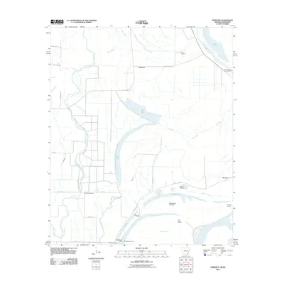
2011 Eminence
Chicot County, AR
2011 Empire
Chicot County, AR
2011 Eudora North
Chicot County, AR
2011 Eudora NW
Chicot County, AR
2011 Eudora South
Chicot County, AR
2011 Luna
Chicot County, AR
2011 Macon Lake
Chicot County, AR
2011 Readland
Chicot County, AR
2011 Red Leaf
Chicot County, AR
2014 Eminence
Chicot County, AR
2014 Empire
Chicot County, AR
2014 Eudora North
Chicot County, AR
2014 Eudora NW
Chicot County, AR
2014 Eudora South
Chicot County, AR
2014 Luna
Chicot County, AR
2014 Macon Lake
Chicot County, AR
2014 Readland
Chicot County, AR
2014 Red Leaf
Chicot County, AR
2017 Eminence
Chicot County, AR
2017 Empire
Chicot County, AR
2017 Eudora North
Chicot County, AR
2017 Eudora NW
Chicot County, AR
2017 Eudora South
Chicot County, AR
2017 Luna
Chicot County, AR
2017 Macon Lake
Chicot County, AR
2017 Readland
Chicot County, AR
2017 Red Leaf
Chicot County, AR
2020 Eminence
Chicot County, AR
2020 Empire
Chicot County, AR
2020 Eudora North
Chicot County, AR
2020 Eudora NW
Chicot County, AR
2020 Eudora South
Chicot County, AR
2020 Luna
Chicot County, AR
2020 Macon Lake
Chicot County, AR
2020 Readland
Chicot County, AR
2020 Red Leaf
Chicot County, AR
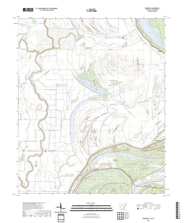
2024 Eminence
Chicot County, AR
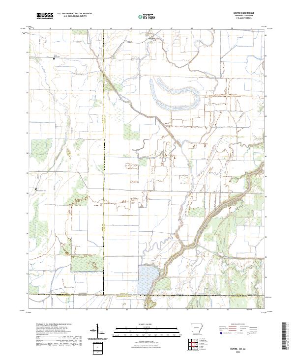
2024 Empire
Chicot County, AR
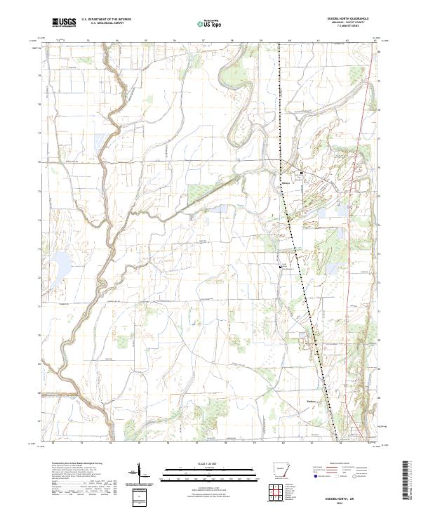
2024 Eudora North
Chicot County, AR
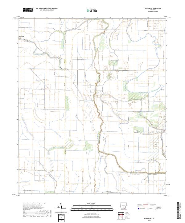
2024 Eudora NW
Chicot County, AR
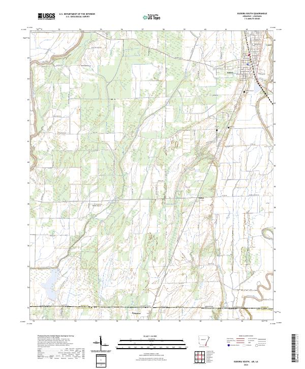
2024 Eudora South
Chicot County, AR
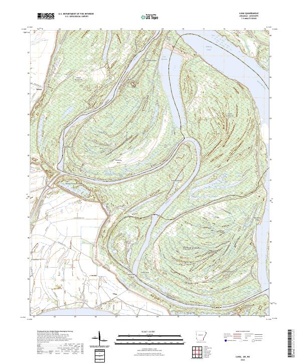
2024 Luna
Chicot County, AR
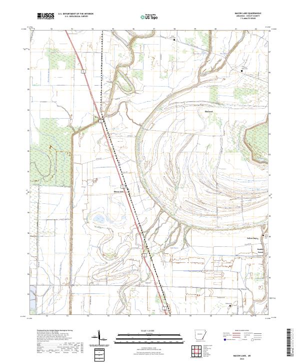
2024 Macon Lake
Chicot County, AR
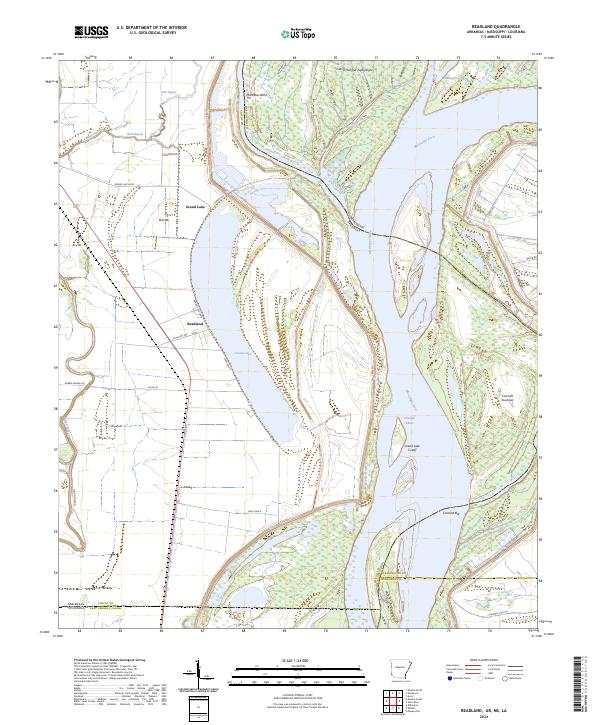
2024 Readland
Chicot County, AR
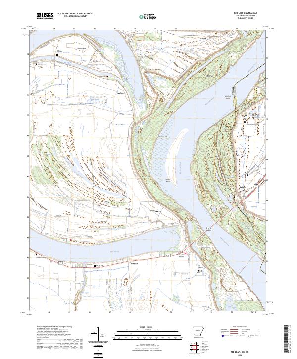
2024 Red Leaf
Chicot County, AR