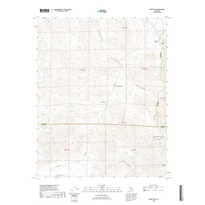
2018 Map of Lamont Peak
USGS Topo · Published 2018About this map
The high-altitude terrain of the Sierra Nevada defines the landscape of this 2018 survey, centered on the prominent summit of Lamont Peak. A significant portion of the Pacific Crest National Scenic Trail meanders through the eastern half of the quadrangle, passing near Chimney Peak and through elevated open spaces such as Chimney Meadow and Lamont Meadow. The drainage patterns are defined by several watercourses, including Chimney Cr, Spanish Needle Cr, and Canebrake Cr, which carve paths through the mountainous region. Geographically, the area is a complex intersection of county lines, showing the borders where Tulare, Inyo, and Kern Counties meet. The presence of steep-walled features like Ninemile Canyon and South Fork Sand Canyon suggests a dramatic transition toward the arid lowlands to the east.
Find a feature on this map
21 named features on this map. Tap any name to fly to it.
Don’t see what you’re looking for? This feature index may not catch every label — zoom into the map to look around manually.
Map Details
Editions of this 2018 Lamont Peak Map
This is the sole edition of this map. No revisions or reprints were ever made.
Other maps of this area

1906 · Kernville
USGS Topo · 1:125,000

1908 · Kernville
USGS Topo · 1:125,000

1915 · Searles Lake
USGS Topo · 1:250,000

1943 · Inyokern
USGS Topo · 1:62,500

1943 · Onyx
USGS Topo · 1:62,500

1947 · Trona
USGS Topo · 1:250,000

1948 · Trona
USGS Topo · 1:250,000

1948 · Bakersfield
USGS Topo · 1:250,000

1953 · Trona
USGS Topo · 1:250,000

1954 · Little Lake
USGS Topo · 1:62,500