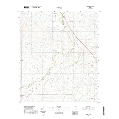
2021 Map of Lamont SE
USGS Topo · Published 2021About this map
The Aucilla River snakes through a complex wetland landscape where the borders of Jefferson, Madison, and Taylor counties converge. In this corner of North Florida, the 2021 topography reveals the enduring rural character of settlements like Eridu, which sits at the intersection of a vast network of local roads and recreational corridors like the Aucilla River State Trl. The map illustrates how human activity adapts to the terrain, with family landmarks such as Walker Cem, Henderson Cem, and Rocky Ford Cem preserved amidst the low-lying reaches of Anderson Bay and Magnolia Hill. A modern layer of infrastructure is evident at the Mount Olive Farm Airport, yet the landscape remains largely defined by its natural watercourses and the small-scale agricultural and residential patterns that have persisted for generations.
Find a feature on this map
55 named features on this map. Tap any name to fly to it.
Don’t see what you’re looking for? This feature index may not catch every label — zoom into the map to look around manually.
Map Details
Editions of this 2021 Lamont SE Map
This is the sole edition of this map. No revisions or reprints were ever made.
Other maps of this area

1952 · Secotan
USGS Topo · 1:24,000

1954 · Johnson Hammock
USGS Topo · 1:24,000

1954 · Secotan
USGS Topo · 1:24,000

1954 · Greenville
USGS Topo · 1:24,000

1954 · Valdosta
USGS Topo · 1:250,000

1955 · Lamont
USGS Topo · 1:24,000

1955 · Waukeenah
USGS Topo · 1:24,000

1955 · Shady Grove
USGS Topo · 1:24,000

1955 · Nutall Rise
USGS Topo · 1:24,000

1955 · Lamont SE
USGS Topo · 1:24,000