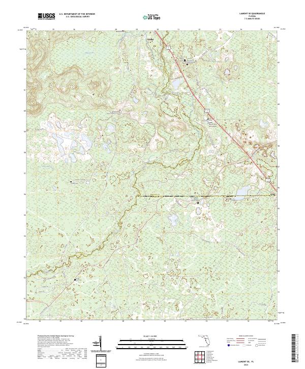
2024 Map of Lamont SE
USGS Topo · Published 2024About this map
The Aucilla River serves as a winding natural boundary for portions of Jefferson, Madison, and Taylor counties, anchoring a landscape defined by traditional Southern family heritage and rural infrastructure. Small settlements like Lamont and Eridu are connected by historic corridors such as Federal Rd and Mt Gilead Rd. The area is notably dense with small family and community burial grounds, including the Lamont Henderson Historical Cem and Cooksey Family Cem, which reflect generations of local residency and genealogical depth.
Find a feature on this map
65 named features on this map. Tap any name to fly to it.
Don’t see what you’re looking for? This feature index may not catch every label — zoom into the map to look around manually.
Map Details
Editions of this 2024 Lamont SE Map
This is the sole edition of this map. No revisions or reprints were ever made.
Other maps of this area

1952 · Secotan
USGS Topo · 1:24,000

1954 · Johnson Hammock
USGS Topo · 1:24,000

1954 · Secotan
USGS Topo · 1:24,000

1954 · Greenville
USGS Topo · 1:24,000

1954 · Valdosta
USGS Topo · 1:250,000

1955 · Lamont
USGS Topo · 1:24,000

1955 · Waukeenah
USGS Topo · 1:24,000

1955 · Shady Grove
USGS Topo · 1:24,000

1955 · Nutall Rise
USGS Topo · 1:24,000

1955 · Lamont SE
USGS Topo · 1:24,000