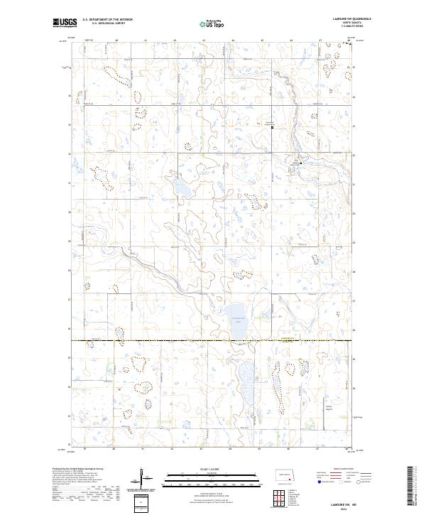
2024 Map of LaMoure SW
USGS Topo · Published 2024About this map
Cottonwood Creek meanders through the prairie landscape of this contemporary survey, reflecting the enduring agricultural character of the region. The map captures the boundary between LaMoure Co and Dickey Co, a division that has organized local administration and land ownership since the nineteenth century. Family and community heritage are anchored by Immanuel Lutheran Cem and Fairview Colony Cem, providing essential coordinates for genealogical research in these rural townships. The presence of Larson Airport in the south illustrates the modern infrastructure integrated into a traditional section-line road grid, where routes like 72nd St SE and 80th St SE delineate the landscape into distinct agricultural blocks. To the west, the waters of Cottonwood Lake serve as a prominent natural landmark in a territory primarily defined by its systematic township and range organization.
Find a feature on this map
21 named features on this map. Tap any name to fly to it.
Don’t see what you’re looking for? This feature index may not catch every label — zoom into the map to look around manually.
Map Details
Editions of this 2024 LaMoure SW Map
This is the sole edition of this map. No revisions or reprints were ever made.
Other maps of this area

1894 · Monango
USGS Topo · 1:62,500

1894 · La Moure
USGS Topo · 1:62,500

1894 · Fullerton
USGS Topo · 1:62,500

1895 · Lamoure
USGS Topo · 1:125,000

1896 · Edgeley
USGS Topo · 1:125,000

1918 · La Moure
USGS Topo · 1:125,000

1925 · Edgeley
USGS Topo · 1:125,000

1952 · Grand Rapids
USGS Topo · 1:24,000

1953 · Jamestown
USGS Topo · 1:250,000

1955 · Fullerton NE
USGS Topo · 1:24,000
Featured Places
- Wright Township, ND
- Porter Township, ND
- Dean Township, ND
- Grand Rapids Township, ND
- Henrietta Township, ND