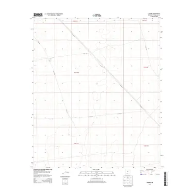
2013 Map of Lanark
USGS Topo · Published 2013About this map
Lanark Tank sits as a primary water source in this arid stretch of Doña Ana County, marking a landscape defined more by its township grids and utilitarian road network than by dense settlement. The area is intersected by several county routes, including Co Road A017 and Co Road A011, which navigate a terrain of subtle elevation changes and cattle-range infrastructure. This USGS survey highlights the geometric precision of the Public Land Survey System, showing the boundaries of t27s r1e and surrounding townships. The lack of traditional town centers or structures emphasizes the open, rural nature of the New Mexico borderlands in the early 21st century, where landmarks like Co Road A014 serve as critical navigational markers for those managing the land.
Find a feature on this map
12 named features on this map. Tap any name to fly to it.
Don’t see what you’re looking for? This feature index may not catch every label — zoom into the map to look around manually.
Map Details
Editions of this 2013 Lanark Map
This is the sole edition of this map. No revisions or reprints were ever made.
Other maps of this area

1891 · Las Cruces
USGS Topo · 1:125,000

1893 · Las Cruces
USGS Topo · 1:125,000

1917 · Canutillo
USGS Topo · 1:62,500

1917 · Noria
USGS Topo · 1:62,500

1918 · Noria
USGS Topo · 1:62,500

1919 · Canutillo
USGS Topo · 1:62,500

1943 · La Mesa
USGS Topo · 1:62,500

1943 · Afton
USGS Topo · 1:62,500

1953 · El Paso
USGS Topo · 1:250,000
1955 · Strauss
USGS Topo · 1:24,000