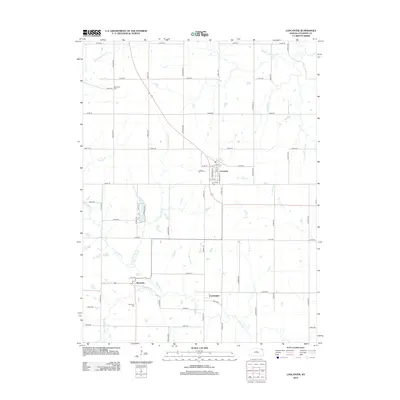
2012 Map of Lancaster
USGS Topo · Published 2012About this map
Lancaster sits at the heart of this Atchison County landscape, organized by a precise grid of rural roads and the meandering drainage of Stranger Cr. The settlement patterns here reflect a late twentieth-century agricultural continuity, where small communities like Monrovia and Farmington serve as local anchors. Family history is etched into the terrain at the Old Huron Cem, Lancaster Cem, and Monrovia Cem, which are preserved alongside established farmsteads.
Find a feature on this map
47 named features on this map. Tap any name to fly to it.
Don’t see what you’re looking for? This feature index may not catch every label — zoom into the map to look around manually.
Map Details
Editions of this 2012 Lancaster Map
This is the sole edition of this map. No revisions or reprints were ever made.
Other maps of this area

1885 · Atchison
USGS Topo · 1:125,000

1886 · Oskaloosa
USGS Topo · 1:125,000

1888 · Oskaloosa
USGS Topo · 1:125,000

1888 · Atchison
USGS Topo · 1:125,000

1893 · Atchison
USGS Topo · 1:125,000

1894 · Oskaloosa
USGS Topo · 1:125,000

1926 · Atchison
USGS Topo · 1:62,500

1950 · Kansas City
USGS Topo · 1:250,000

1954 · Kansas City
USGS Topo · 1:250,000

1956 · Kansas City
USGS Topo · 1:250,000