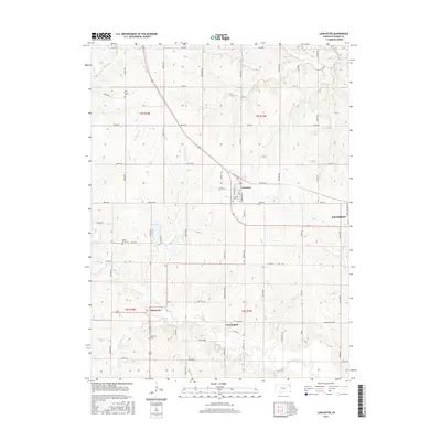
2015 Map of Lancaster
USGS Topo · Published 2015About this map
The agrarian landscape of Atchison County unfolds across this modern survey, centered on the historic crossroads of Lancaster. This area of Kansas is defined by its dense network of rural routes, including Parallel Rd and Haskell Rd, which serve a collection of small communities and family farmsteads. The drainage systems of Stranger Cr and the N Fork Stranger Cr carve subtle valleys through the terrain, influencing the placement of early settlements like Farmington and Monrovia.
Find a feature on this map
55 named features on this map. Tap any name to fly to it.
Don’t see what you’re looking for? This feature index may not catch every label — zoom into the map to look around manually.
Map Details
Editions of this 2015 Lancaster Map
This is the sole edition of this map. No revisions or reprints were ever made.
Other maps of this area

1885 · Atchison
USGS Topo · 1:125,000

1886 · Oskaloosa
USGS Topo · 1:125,000

1888 · Oskaloosa
USGS Topo · 1:125,000

1888 · Atchison
USGS Topo · 1:125,000

1893 · Atchison
USGS Topo · 1:125,000

1894 · Oskaloosa
USGS Topo · 1:125,000

1926 · Atchison
USGS Topo · 1:62,500

1950 · Kansas City
USGS Topo · 1:250,000

1954 · Kansas City
USGS Topo · 1:250,000

1956 · Kansas City
USGS Topo · 1:250,000