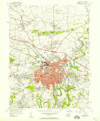
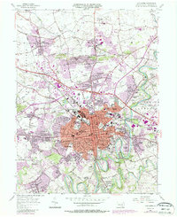
1956 Map of Lancaster
USGS Topo · Published 1958About this map
The Conestoga River curves through a landscape of rapid mid-century expansion on this mid-1950s survey. At the center, the city of Lancaster is a dense hub of institutional life, anchoring the region with its Courthouse, Franklin and Marshall College, and the Stevens Industrial Sch. The city’s reach extends into sprawling suburban developments such as Grandview Heights and Hamilton Park, while outlying villages like Neffsville and East Petersburg maintain their distinct identities along the Reading and Pennsylvania Railroad lines.
Find a feature on this map
133 named features on this map. Tap any name to fly to it.
Don’t see what you’re looking for? This feature index may not catch every label — zoom into the map to look around manually.
Map Details
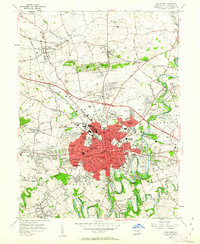
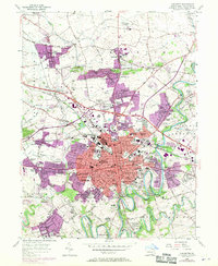
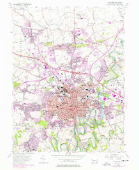
Editions of this 1956 Lancaster Map
5 editions found
Other maps of this area

1902 · Lancaster
USGS Topo · 1:62,500

1904 · Lancaster
USGS Topo · 1:62,500

1906 · New Holland
USGS Topo · 1:62,500

1908 · New Holland
USGS Topo · 1:62,500

1912 · Quarryville
USGS Topo · 1:62,500

1912 · Mc Calls Ferry
USGS Topo · 1:62,500

1941 · New Holland
USGS Topo · 1:62,500

1943 · Lancaster
USGS Topo · 1:62,500

1943 · Quarryville
USGS Topo · 1:62,500

1943 · Mc Calls Ferry
USGS Topo · 1:62,500
Featured Places
- Lancaster, PA
- West Lampeter Township, PA
- Willow Street, West Lampeter Township
- Millersville, PA
- East Petersburg, PA