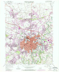
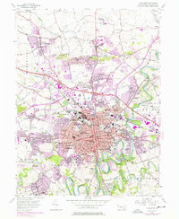
1956 Map of Lancaster
USGS Topo · Published 1987About this map
The Conestoga River winds past the expanding city of Lancaster, which shows a dense mid-century network of parochial schools, community hospitals, and historical burial grounds. The 1950s urban core is anchored by the Courthouse and City Hall, while its periphery is dotted with neighborhood landmarks like the Monastery of the Perpetual Rosary and the Lancaster Airport to the north. Academic and civic growth is evident through numerous specialized institutions, from McCaskey High Sch to the State Teachers College in the southwest near the Little Conestoga Creek. Suburban expansion is captured in the development of Hamilton Park, Rossmere, and Bloomingdale, reflecting a period of rapid residential change before later modern infrastructure took hold. Genealogists will find particular value in the detailed mapping of older sites like Woodward Hill Cemetery and the Shaurai Shomarim Cem, alongside the regional transportation corridor provided by the Conrail lines.
Find a feature on this map
111 named features on this map. Tap any name to fly to it.
Don’t see what you’re looking for? This feature index may not catch every label — zoom into the map to look around manually.
Map Details
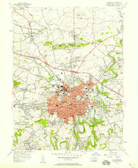
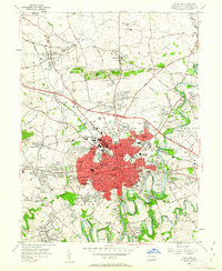
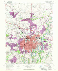
Editions of this 1956 Lancaster Map
5 editions found
Other maps of this area

1902 · Lancaster
USGS Topo · 1:62,500

1904 · Lancaster
USGS Topo · 1:62,500

1906 · New Holland
USGS Topo · 1:62,500

1908 · New Holland
USGS Topo · 1:62,500

1912 · Quarryville
USGS Topo · 1:62,500

1912 · Mc Calls Ferry
USGS Topo · 1:62,500

1941 · New Holland
USGS Topo · 1:62,500

1943 · Lancaster
USGS Topo · 1:62,500

1943 · Quarryville
USGS Topo · 1:62,500

1943 · Mc Calls Ferry
USGS Topo · 1:62,500
Featured Places
- Lancaster, PA
- West Lampeter Township, PA
- Willow Street, West Lampeter Township
- Millersville, PA
- East Petersburg, PA